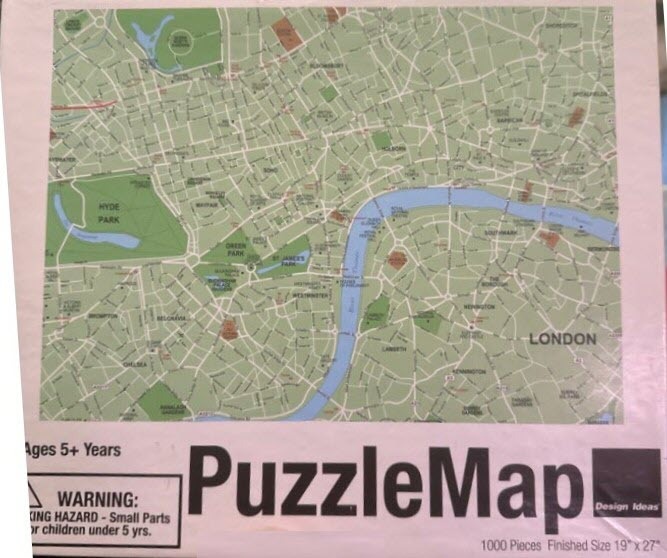
This image displays a stylized, overhead street map of central London. The central feature is the River Thames, which snakes diagonally through the map from the top left towards the bottom center in a distinct light blue. On either side of the river, a complex web of white roads and streets dissects the map, creating a grid-like urban pattern throughout the metropolitan area.
Large, green topographical areas represent major parks, including Hyde Park on the left and various smaller green spaces scattered throughout the landscape. The color palette is muted and professional, relying on soft sage greens for parklands, light blue for water, and off-white for the densely packed urban fabric. Labels identifying key districts such as Westminster, Southwark, and Lambeth are printed in clear, dark sans-serif text, providing geographic context to the network of thoroughfares.
The layout is a two-dimensional cartographic illustration, prioritizing navigational clarity and visual minimalism over artistic flourish. The composition is balanced, centering the River Thames as the primary anchor point, with the surrounding city extending to the edges of the frame. The overall aesthetic is clean and functional, resembling a simplified tourist or transit map design that emphasizes the scale and connectivity of the city.