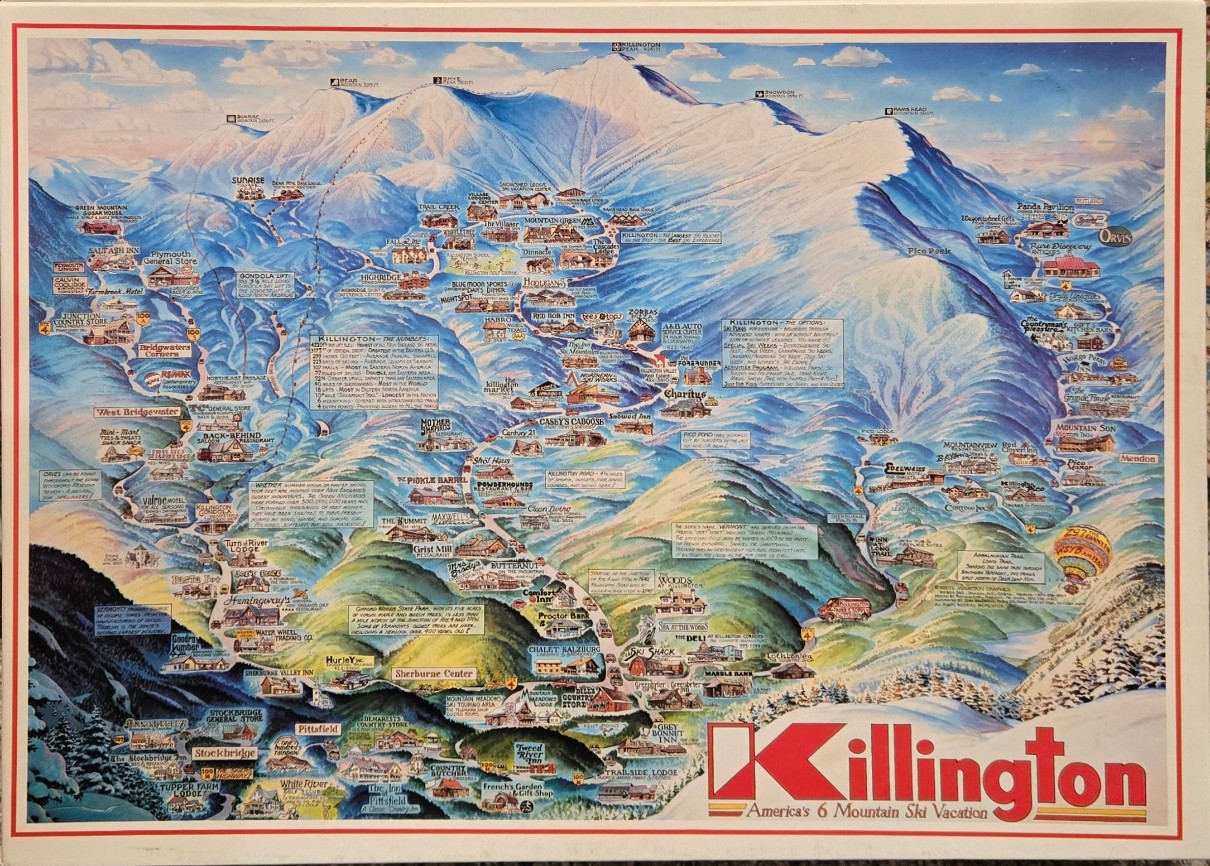
This detailed illustration serves as a bird's-eye map of a mountainous ski resort region. The perspective looks up toward a massive, snow-covered peak that dominates the upper center of the frame, with smaller forested hills and valleys unfolding in the foreground. Numerous small, detailed illustrations of lodges, inns, shops, and restaurants are scattered throughout the landscape, each labeled with its name.
The composition is densely packed with information, utilizing blue-tinted shadows to define the contours of the snow-covered slopes, while the lower elevations transition into lush, rolling green hills and deep pine forests. White, textured brushstrokes represent the snow, contrasting with the warm, earth-toned colors used for the various buildings and the surrounding vegetation. Text blocks are strategically placed over open areas, providing facts, statistics, and historical anecdotes about the region.
Rendered in a style reminiscent of classic travel posters or tourist guide maps, the artwork features vibrant, saturated colours. The palette is dominated by cold, icy blues, bright whites, and deep forest greens, which effectively differentiate the high-altitude ski terrain from the lower valley base. The illustration captures a sense of expansive, mountainous adventure, complete with thin lines tracing paths and ski trails that weave through the peaks and down into the village areas.