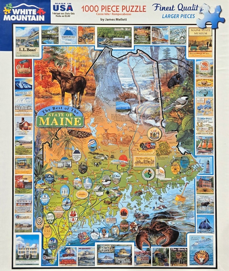
This illustration features a vibrant, detailed map of the state of Maine, depicted as a central focal point. The map is filled with green landscapes, winding roads, and specific geographic identifiers, framed by a border of smaller, rectangular vignettes. These border images showcase various regional attractions, historic buildings, scenic lighthouses, and local heritage sites, effectively capturing the spirit of the state through a collection of miniature scenes.
In the foreground and scattered throughout the map, iconic Maine wildlife is prominently featured. A large, majestic moose stands in a golden-hued pond in the upper left corner, while a black bear and a small songbird are nestled in the trees nearby. In the lower right corner, a large, dark lobster anchors the bottom of the map, adding a touch of coastal character. These elements are rendered in a charming, nostalgic artistic style that feels reminiscent of vintage travel posters or educational maps.
The overall color palette is diverse, moving from the warm, autumnal oranges and golds of the woods to the deep, cool blues of the Atlantic coastline. The composition is busy and educational, blending cartography with artistic storytelling. Every inch of the space is utilized to provide a rich visual narrative of the state, balancing natural wonders like mountains and forests with the cultural landmarks that define the region.