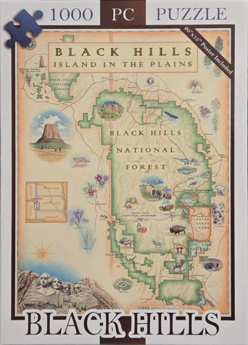
This illustration is a stylized, vintage-style regional map highlighting the Black Hills National Forest and surrounding areas. Centrally featured is the uniquely shaped green expanse of the National Forest, which serves as the anchor for numerous illustrations of local landmarks, including Devils Tower, Mount Rushmore, and Custer State Park. The composition is layered with geographical markers, small inset maps, and delicate illustrations of native flora and fauna.
The artwork uses a warm, parchment-toned background that gives it the appearance of an old topographical study. The colour palette relies on soft earth tones, muted greens, and subtle pastel accents for the flowers and wildlife, contrasting with the detailed ink-style drawings. The lettering is clean and serifed, reminiscent of early twentieth-century cartography, which adds to the educational and historical aesthetic of the piece.
Scattered throughout the map are small, detailed vignettes depicting iconic wildlife like buffalo, elk, and mountain goats, alongside botanical studies of native flowers. The bottom left corner features a prominent, detailed illustration of the four presidential faces carved into the mountain at Mount Rushmore. The entire map is framed with a border and includes subtle navigational elements like a compass rose in the upper corner, creating a cohesive and inviting visual exploration of the territory.