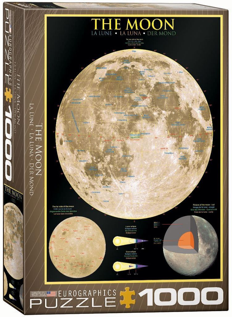
The central focus is a large, detailed photographic representation of the moon as seen from Earth, set against a stark black background. This primary image is a full-disc lunar map, featuring a grid of latitude and longitude lines overlaid with numerous blue labels identifying specific craters, maria, and mountain ranges. The lunar surface displays a range of earthy, golden-brown and beige tones, showcasing the textured topography of the terrain.
Beneath the main image, three smaller elements provide additional scientific context. To the left is a spherical view of the far side of the moon in a similar monochromatic, light brown palette. To the right is a cross-sectional diagram of the moon, revealing its internal layers in shades of gray, orange, and white. Between these two visuals are two simple geometric diagrams illustrating the celestial mechanics of lunar and solar eclipses, showing the interaction between the sun, Earth, and moon with yellow and dark blue conical shapes.
Overall, the composition resembles an educational wall chart or scientific poster. The layout is clean and informative, using a high-contrast black backdrop to emphasize the lighter, textured details of the lunar images. The text labels and diagrams are presented with clarity, making the information accessible while highlighting the moon's surface features and astronomical characteristics.