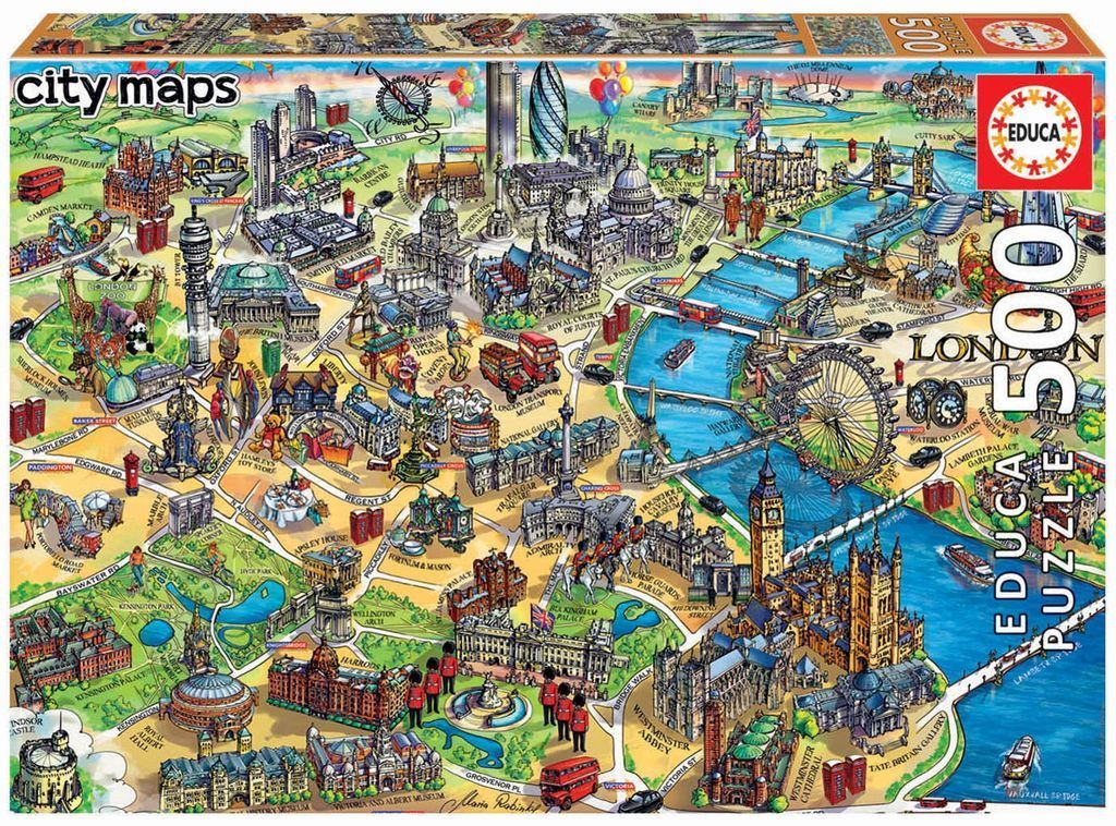
This whimsical, stylized illustrated map of London showcases a bird's-eye perspective of the city's most famous landmarks and districts. The composition is dense and colourful, spreading iconic buildings, parks, and transportation across the entire frame. The layout follows a loose geographical orientation, allowing viewers to trace winding streets that connect major tourist attractions from the Westminster area in the south to the northern reaches of the city.
Key focal points include the Houses of Parliament, Big Ben, the London Eye, and St. Paul's Cathedral, which are rendered in recognizable detail. The River Thames winds through the centre of the image in a vibrant blue, with miniature boats traversing its surface. Other notable landmarks like Buckingham Palace, Harrods, the Royal Albert Hall, and the Tower of London are depicted with charming, cartoon-like proportions. Small details like red double-decker buses, traditional telephone booths, and groups of palace guards add a lively, quintessentially British atmosphere to the scene.
The colour palette is bright and inviting, featuring lush greens for the parks, deep blues for the river, and warm, earthy tones for the historic stone architecture. The overall style is reminiscent of a bustling travel poster or an artist's tourist map, emphasizing character and charm over rigid technical accuracy. Soft, varied shading helps define the structures, and the clear lines make the complex arrangement of the city easy to navigate visually.