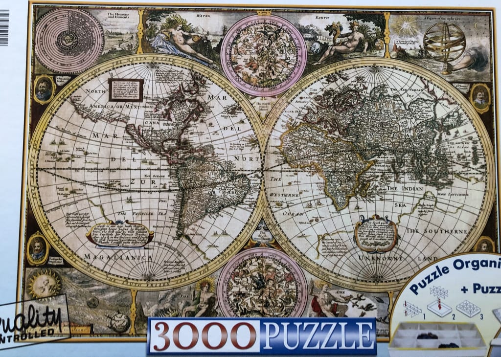
This vintage-style illustration depicts a dual-hemisphere world map in the style of 17th-century cartography. The two large, circular projections dominate the center of the frame, showing the continents of North and South America on the left, and Europe, Africa, and Asia on the right. The landmasses are rendered in sepia tones with fine linework, while the vast oceans are marked with grid lines and historical notations. The text is written in archaic script, and the coastlines reflect the geographical understanding of the era.
Surrounding the two primary globes are smaller circular charts detailing the heavens, constellations, and celestial bodies. The corners and margins are adorned with ornate, classically inspired allegorical figures representing the elements—Earth, Water, Air, and Fire—alongside scientific instruments like an armillary sphere. These decorative elements add a sense of scholarly discovery and historical wonder to the composition.
The overall color palette is muted and aged, relying on parchment-like creams, muted tans, and deep browns, accented by subtle washes of color in the celestial circles. The lighting is even, giving the appearance of an aged, hand-drawn document. The entire arrangement is tightly composed, balancing the mathematical precision of the globes with the flowing, artistic nature of the surrounding ornamental vignettes.