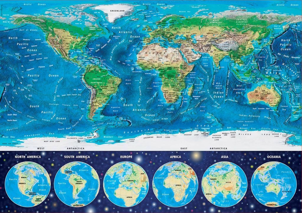
This illustration features a large, central world map utilizing a Mercator-style projection that showcases both land topography and seafloor bathymetry. The landmasses are rendered in varied shades of green and tan to indicate terrain elevation, while the oceans are depicted in gradients of blue that highlight deep-sea ridges and basins. Numerous geographical labels for oceans, seas, mountain ranges, and tectonic ridges are scattered across the map, providing a detailed view of the Earth's physical features.
Below the main map, the composition shifts to a dark, starry backdrop featuring six circular globes arranged in a horizontal row. Each sphere highlights a different continent, centered respectively on North America, South America, Europe, Africa, Asia, and Oceania. These globes provide a unique, spherical perspective of the same landmasses shown above.
The overall color palette is dominated by deep, vibrant blues of the ocean and the contrasting earthy tones of the continents. The transition between the detailed physical map above and the cosmic, star-filled space below creates a sense of scale, suggesting the Earth as a solitary, intricate body within the vastness of the universe.