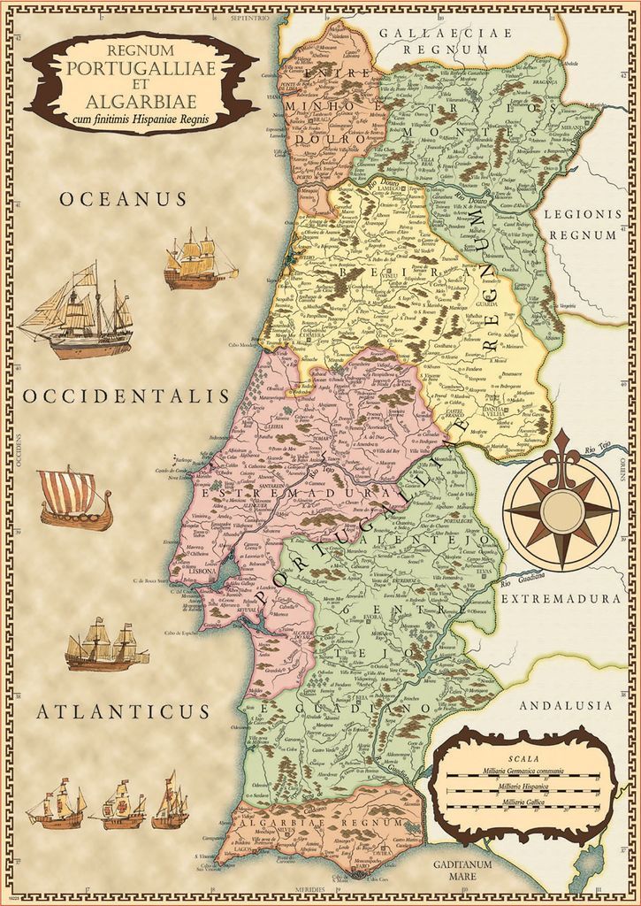
This illustration features an antique-style map of Portugal and the Algarve, depicted with a warm, aged parchment aesthetic. The country is divided into color-coded administrative regions in shades of pale pink, green, and yellow, each labeled with historical nomenclature. The interior terrain is detailed with small topographical icons representing mountains and forests, while a dense network of black lines traces rivers and roads connecting numerous named towns and cities across the landscape.
The composition is framed by a repeating geometric Greek key pattern along the outer edge. To the left of the landmass, several vintage sailing ships are scattered across the space designated as the Atlantic Ocean. On the right side, a compass rose serves as a central navigational icon, and a decorative cartouche in the lower corner provides a scale legend for distances. A prominent title block in the upper-left corner features ornate, flowing lettering that reads "Regnum Portugalliae et Algarbiae."
The overall mood is classic and scholarly, evocative of 17th- or 18th-century cartography. The muted color palette, textured background, and fine-line illustrations of historical vessels contribute to an atmosphere of exploration and archival study. Latin text labels and crisp black typography ground the piece in an academic style, emphasizing the historical significance of the region.