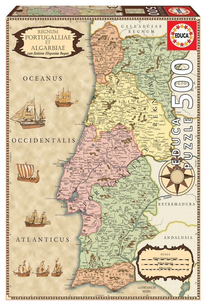
This illustration presents a vintage, parchment-style cartographic map of Portugal, titled in the upper left corner as Regnum Portugalliae et Algarbiae. The map features a soft, sepia-toned background and uses muted, pastel-like colours to delineate regional boundaries. These sections, including Estremadura, Alentejo, and Minho, are rendered in pale pinks, light greens, and subtle yellows, providing a clear visual contrast against the beige oceans. Detailed, hand-drawn typography identifies cities, rivers, and mountain ranges across the Iberian Peninsula.
Surrounding the coastline are several detailed illustrations of historical sailing vessels, including galleons and smaller wooden ships, suggesting the maritime history of the region. A decorative compass rose sits in the lower-right quadrant, and a classical cartouche detailing the map's scale is positioned nearby. The entire map is enclosed within a dark, intricate, geometric border, mimicking the aesthetic of a classical 17th-century navigational chart.
The overall mood is academic and historical, evoking the aesthetic of age-worn discovery maps. The composition balances the density of the topographical information on the landmass with the sparse, open space of the "Oceanus Occidentalis" and the "Atlanticus." Delicate line work is used for the terrain, providing a sense of depth and relief to the mountain ranges, while the consistent serif typography enhances the authentic, period-inspired appearance of the illustration.