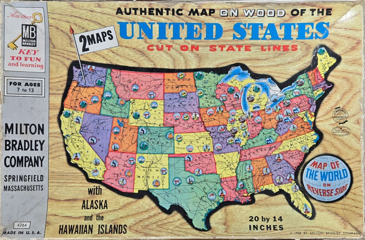
This illustration features a stylized, educational map of the United States set against a faux-wood grain background. The central map is color-coded by state, using a palette of yellow, green, pink, and purple. Each state contains small, circular inset illustrations depicting regional industries, landmarks, or natural icons typical of mid-century Americana, such as cattle in Texas, mountains in Colorado, and factories in the Midwest.
Textual elements are prominent, with the title "AUTHENTIC MAP ON WOOD OF THE UNITED STATES" written in bold blue and red lettering above the map. To the left, a vertical gray column contains product information and brand logos. A secondary, circular graphic in the lower right corner advertises a "MAP OF THE WORLD ON REVERSE SIDE." A small flag icon near the Pacific Northwest carries a banner that reads "2 MAPS."
The overall aesthetic is that of an educational product from the mid-20th century, utilizing clear, sans-serif typography and simple, vibrant spot illustrations. The composition is clean and instructional, with the map itself outlined in a thick, jagged black border. The use of the wood grain texture suggests a tangible, durable object, while the dense labeling of state names and minor cities provides a busy, informative appearance typical of vintage schoolroom aids.