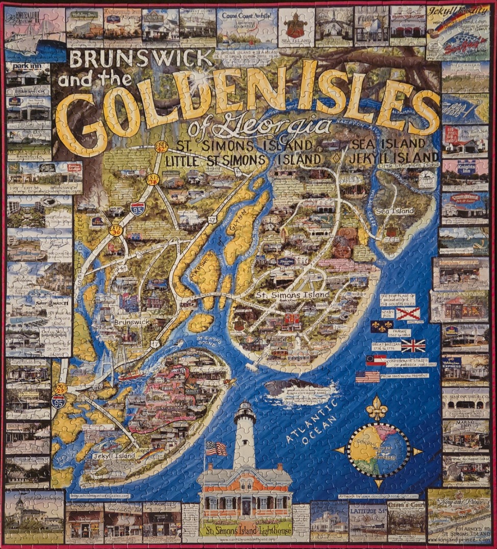
This illustrated map depicts Brunswick and the Golden Isles of Georgia, featuring a central geographical layout of St. Simons Island, Little St. Simons Island, and Jekyll Island. The islands are rendered in shades of tan and gold, set against the bright blue waters of the Atlantic Ocean and local sound. Major roadways and highways like I-95 are highlighted with white lines, guiding the eye across the map toward key points of interest. Large, stylized text at the top reads, "Brunswick and the Golden Isles of Georgia."
Surrounding the central map is a decorative border composed of numerous small, rectangular vignette illustrations. These showcase various local hotels, restaurants, historic sites, and businesses, effectively framing the map. At the bottom center, a prominent illustration of the St. Simons Island Lighthouse stands tall, serving as a focal point. A detailed compass rose, featuring a small map of Georgia, is positioned in the lower right corner, adjacent to a historical timeline of flags that have flown over the region.
The overall style is that of a colorful, tourist-oriented pictorial map. The colour palette is dominated by the contrast between the deep blues of the water and the warm, earthy tones of the land. The composition is informative and dense, packed with specific labels for islands, creeks, and towns, creating a comprehensive and nostalgic representation of this coastal region.