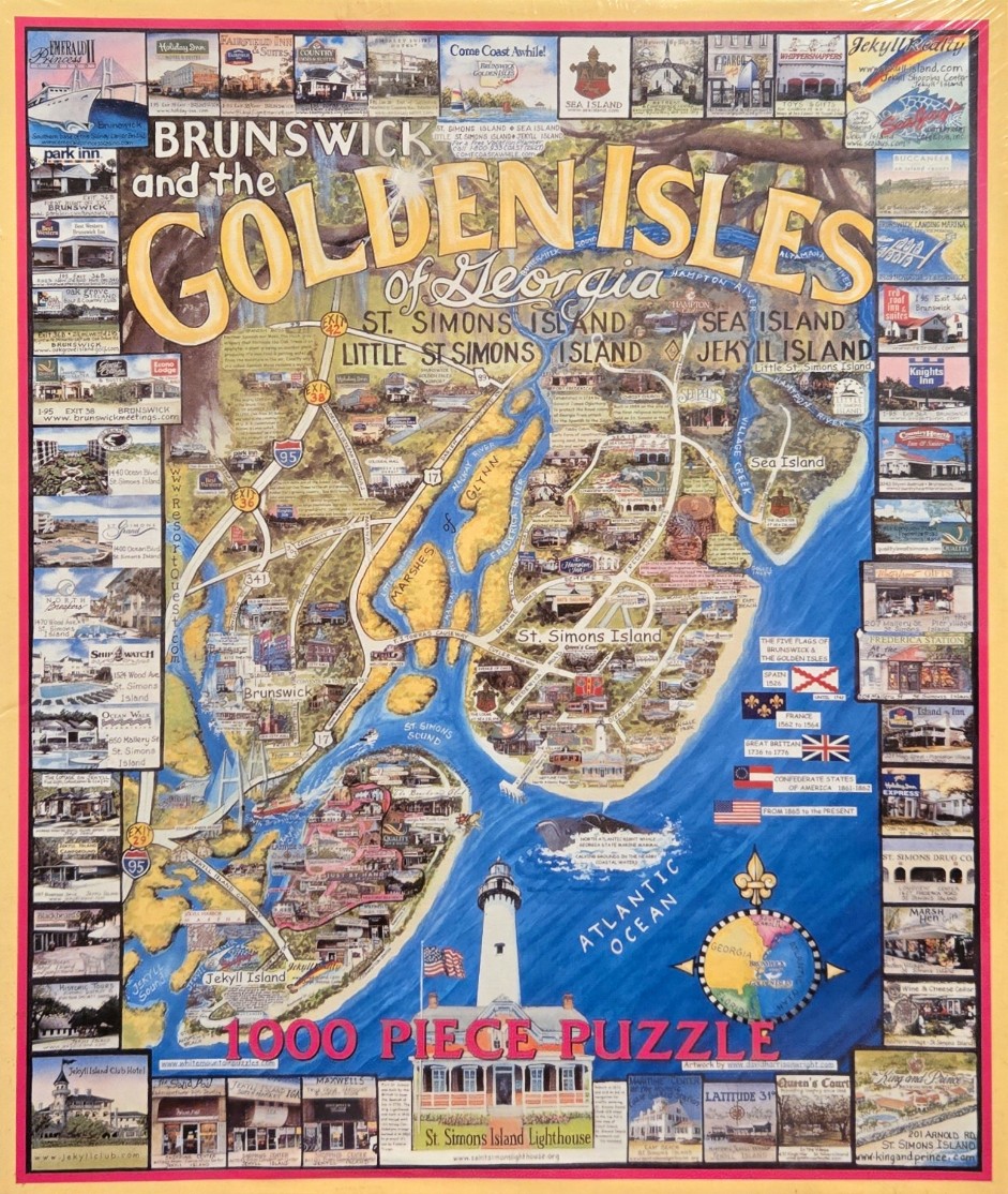
This illustration depicts a stylized, artistic map of the Georgia coastline, specifically focusing on Brunswick, St. Simons Island, Sea Island, and Jekyll Island. The center of the image features the islands rendered in warm, sandy yellow tones, surrounded by the deep blue waters of the Atlantic Ocean, rivers, and marshes. A prominent white lighthouse stands near the bottom center, representing the St. Simons Island Lighthouse, which acts as a visual anchor for the southern portion of the map.
The entire composition is framed by a collage of small, rectangular photographs. These images showcase various local landmarks, hotels, storefronts, and coastal scenery, creating a comprehensive travel guide aesthetic. The map itself is overlayed with text identifying the locations, rivers, and roadways, rendered in a vintage, cartographic style with a bold, whimsical title at the top reading "BRUNSWICK and the GOLDEN ISLES of Georgia."
The color palette is bright and inviting, utilizing a contrast between the earthy yellows of the land and the rich, saturated blues of the water. Additional elements include small flag icons denoting the historical flags that have flown over the region, a compass rose, and an illustrative whale breaching near the coast. The overall style is that of a decorative, hand-drawn map meant to highlight both the geography and the tourist attractions of this coastal region.