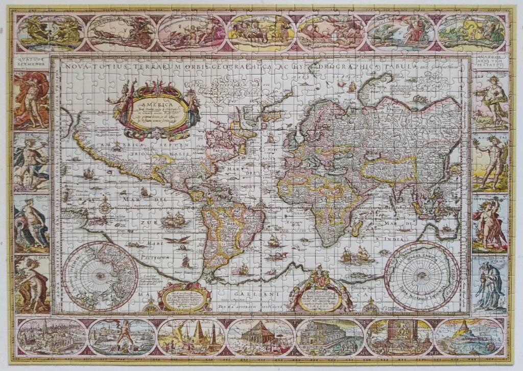
This antique-style world map, titled "NOVA TOTIUS TERRARUM ORBIS GEOGRAPHICA AC HYDROGRAPHICA TABULA," presents a historical view of the globe centered on the Americas, Europe, Africa, and Asia. The map is filled with intricate Latin annotations, compass roses, and tiny illustrations of sailing ships navigating the vast oceans. Two large circular projections flank the bottom corners, showing the North and South Poles.
The central map is framed by ornate, rectangular panels. The side borders feature allegorical figures representing the four elements and the four seasons, while the top border displays scenes of planetary deities and celestial bodies. The bottom border presents detailed, miniature illustrations of famous historical cityscapes and monuments.
The aesthetic is reminiscent of a 17th-century cartographic masterpiece, characterized by a muted, parchment-toned palette. Soft washes of faded pink, pale yellow, and sage green define the continental boundaries, while the delicate black linework provides fine detail for the geography and surrounding artwork. The overall mood is academic and classical, evoking a sense of age and discovery through the artistic style of early modern mapmaking.