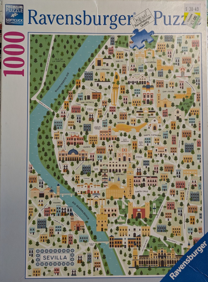
This illustration provides a stylized, bird's-eye view map of Seville, Spain. The composition is dominated by a sweeping, curved path of the Guadalquivir River, which cuts diagonally across the left side of the frame in a cool, solid blue. The rest of the scene is filled with a dense, grid-like network of city streets, plazas, and historic buildings rendered in a clean, flat aesthetic reminiscent of architectural planning maps or travel guides.
The colour palette is earthy and Mediterranean, utilizing soft oranges, tans, and terracottas for the buildings, set against a light cream-coloured background. Contrasting green patches represent urban parks and tree-lined avenues, adding depth and texture to the otherwise organized urban layout. Landmarks are depicted with simplified geometric shapes, highlighting notable structures such as towers, cathedrals, and large public squares.
Throughout the map, small black text labels identify specific neighborhoods, plazas, and streets, anchoring the illustration in reality. The overall mood is orderly and informative, with a classic, decorative style that emphasizes the historic character of the city. The uniform line work and consistent scale create a balanced and readable representation of the city's unique geography.