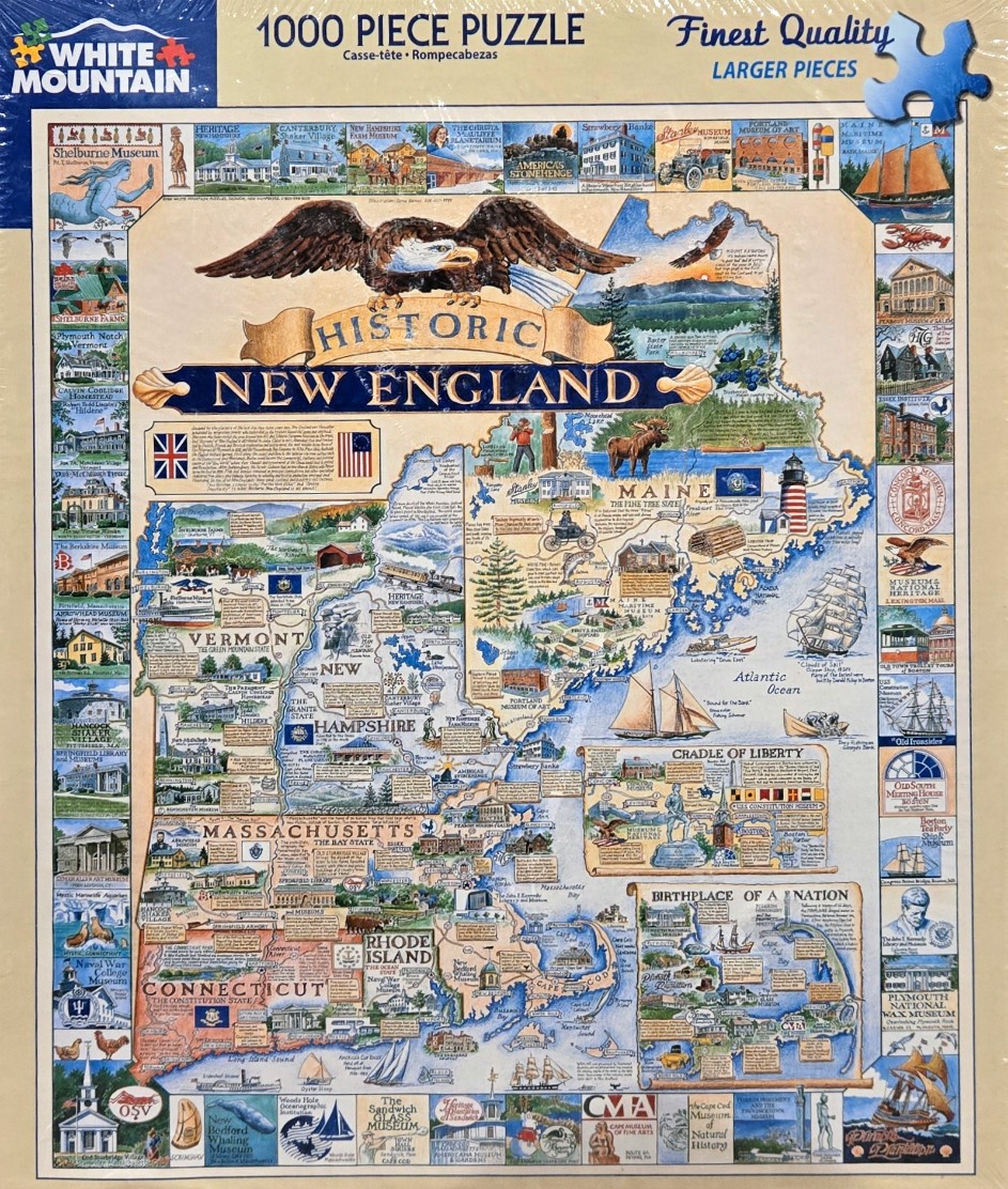
This illustration features a comprehensive map of the New England states, including Maine, Vermont, New Hampshire, Massachusetts, Rhode Island, and Connecticut. The map is centered and filled with intricate drawings of historical landmarks, regional wildlife, and maritime symbols. A large, majestic bald eagle with outstretched wings dominates the top center, perched above a decorative banner that reads "Historic New England."
Surrounding the central map is a decorative border composed of dozens of small, square panels. Each panel highlights a specific museum, historic building, or cultural icon representative of the region. The map itself is rendered in a soft, vintage color palette dominated by creams, muted greens, and sea-blues, giving it the appearance of an aged archival document or an educational wall chart.
The composition is dense and informative, using a hand-drawn illustration style that captures the textures of buildings and landscapes. Geographical features like mountains, coastline, and harbors are clearly labeled alongside major cities and states. The artistic medium reflects a traditional ink and watercolor style, focusing on historical accuracy and regional pride through a nostalgic and documentary lens. The layout is balanced, with the map serving as the primary focal point, while the peripheral border provides a gallery-like overview of the area’s rich history.