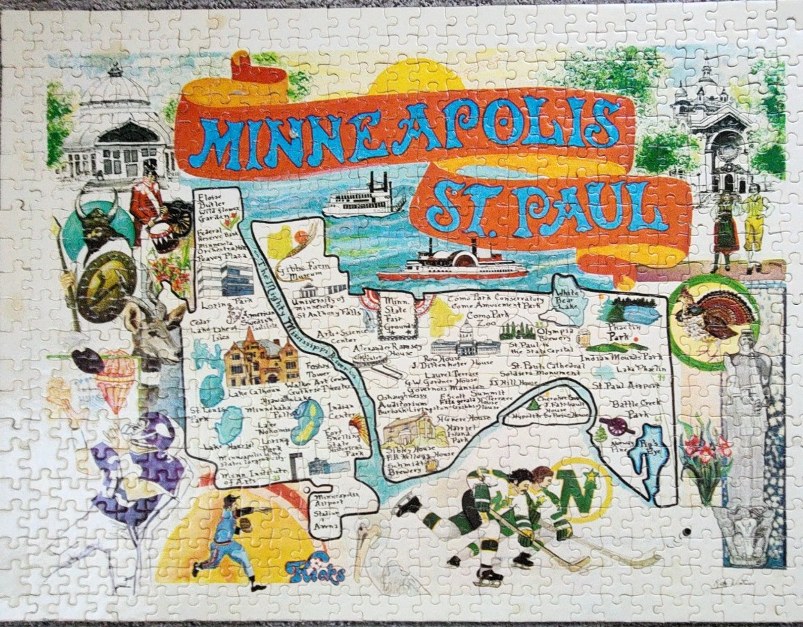
This illustration is a vintage-style souvenir map depicting the Minneapolis and St. Paul metropolitan area. The title, "MINNEAPOLIS ST. PAUL," is prominently displayed across the top in bold, blue lettering on a stylized orange ribbon banner. The composition centers on a map of the region, which outlines key geographic features like the Mississippi River and various local lakes, interspersed with the names and simplified drawings of historical landmarks, parks, and institutions like the Como Park Conservatory and various state historical sites.
The map is surrounded by a collage of colorful cultural vignettes reflecting the region's character. On the left, a figure in a Viking-themed costume stands near a depiction of a traditional athlete, while on the right, a turkey and a monument figure occupy the frame. The lower section features a baseball player in action and two hockey players in mid-game, emphasizing the area's sports culture. Two riverboats are depicted in the background, reinforcing the historic importance of the waterways.
The aesthetic is that of a hand-drawn travel poster, utilizing a palette of soft pastels and primary colors against an off-white background. The art style feels mid-20th century, with expressive, slightly whimsical sketches. Light washes of color define the lakes and park spaces, while intricate pen-and-ink detailing creates the architecture and figures, giving the entire image a nostalgic and informative charm.