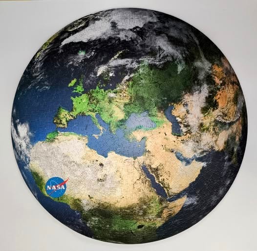
This circular image presents a satellite-style view of the Earth, centered primarily on the Mediterranean region. The view encompasses the entirety of Europe to the north, the vast expanse of Northern Africa to the south, and the Middle East towards the east. The familiar shapes of the Italian peninsula, the Iberian Peninsula, and the Arabian Peninsula are clearly visible, set against the deep blue waters of the surrounding seas and the Atlantic Ocean.
The colour palette is dominated by earthy and natural tones. The landmasses feature a rich spectrum of deep greens representing forested areas, transitioning into the sandy, beige hues of the Sahara Desert and arid regions. The deep blue of the ocean provides a stark, cooling contrast to the warmer tones of the land. Wispy, white cloud formations drift across portions of the globe, particularly over northern Europe and the edges of the sphere, adding a sense of depth and atmospheric scale to the view.
The overall composition is a circular map projection, emphasizing the curvature of the planet. Lighting appears uniform and bright, mimicking daylight conditions captured from space. A small, circular blue logo with white text reading "NASA" is prominently placed over the western portion of Africa, serving as the only non-geographic detail in the frame. The image retains the photographic quality and topographic detail expected of satellite imagery, providing a clear and comprehensive perspective of this section of the globe.