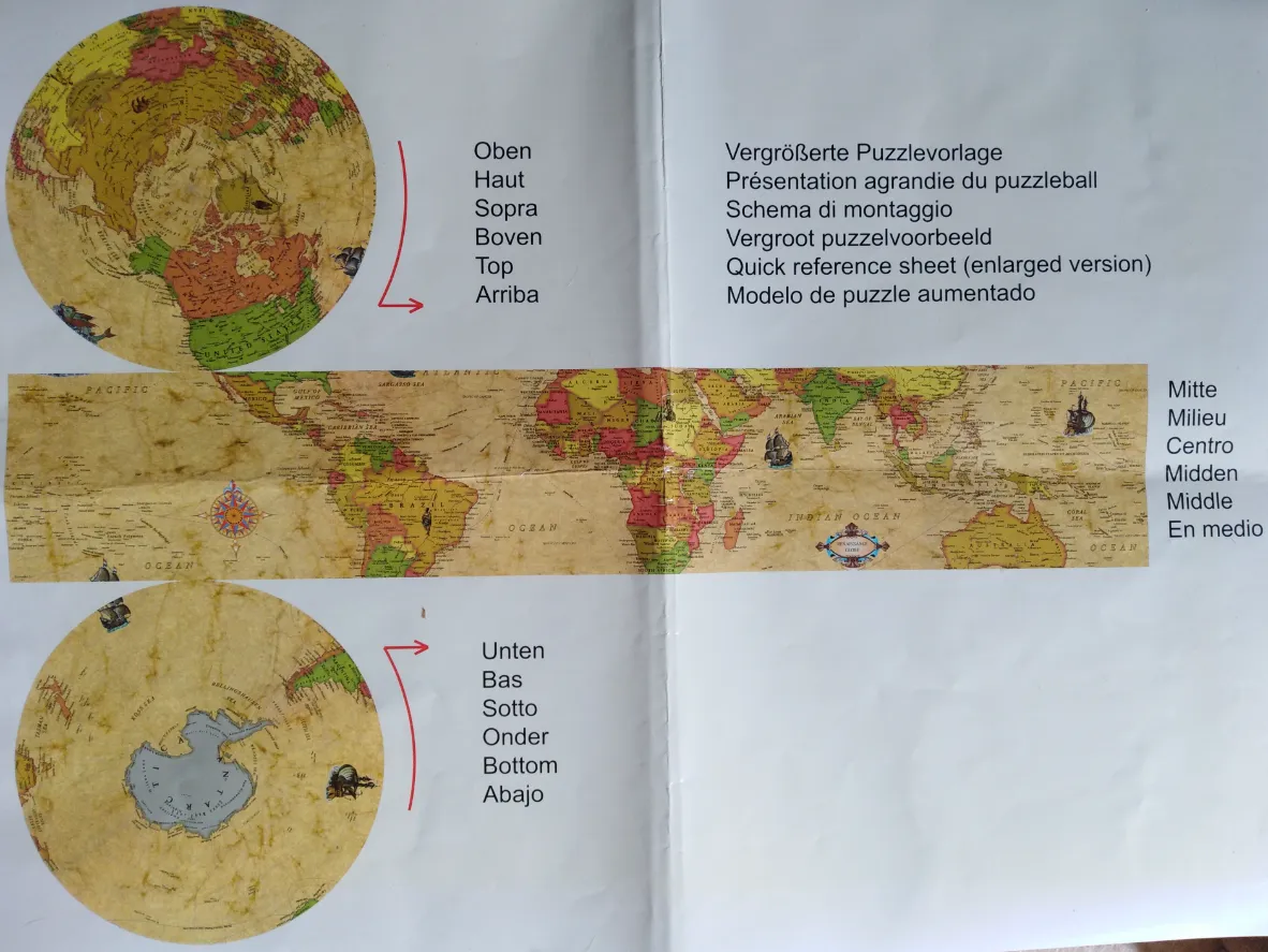
This illustration provides a visual reference for a spherical object, displaying a world map broken into three distinct sections. At the top is a circular view of the Northern Hemisphere, while the bottom circular view depicts the Southern Hemisphere and Antarctica. Stretching between these two circles is a rectangular horizontal strip that presents a flat projection of the world's equatorial and mid-latitude regions. The entire map features an aged, parchment-like aesthetic with muted, sepia-toned coloring.
The layout is strictly organized for clarity. Red curved arrows connect the circular polar views to multilingual instructional text located to the right of each section. The top section is labeled with the word "Oben" and its equivalents in various languages, while the middle section is identified as "Mitte," and the bottom as "Unten." The style mimics a vintage explorer's chart, incorporating intricate details like a colorful compass rose in the western section of the central strip and small illustrations of antique sailing vessels scattered across the oceans.
The overall mood is classic and educational, reminiscent of historical cartography. The use of soft earth tones and subtle texture provides an authentic, weathered appearance. The composition is highly functional, serving as a guide to represent how a two-dimensional surface maps onto a three-dimensional globe, with the clear labels ensuring easy navigation for the user.