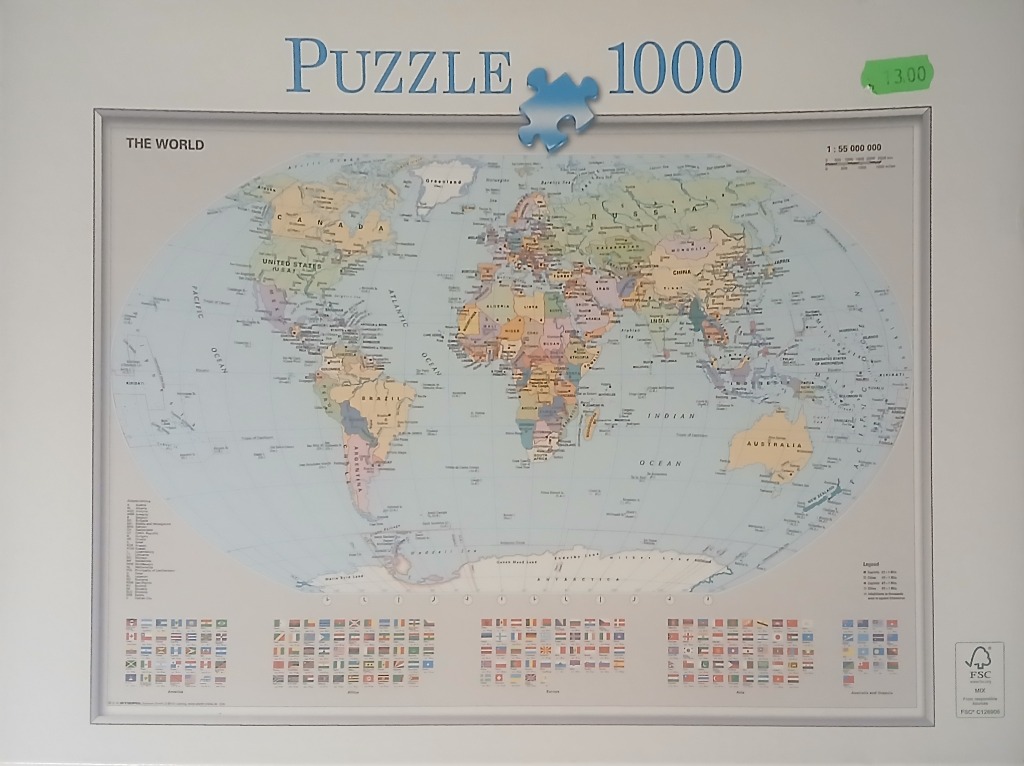
This is a political world map depicted in an oval-shaped Robinson projection. The landmasses are rendered in muted, varied pastel shades, clearly delineating international borders. Large text labels identify major continents and countries, while smaller labels provide names for major cities and bodies of water. The vast expanses of the Pacific, Atlantic, and Indian Oceans are colored in a light, soft blue, providing a calm backdrop for the continents.
Beneath the primary map, the bottom section of the composition is organized with a comprehensive grid of small, colorful national flags. These are grouped by continent, appearing in neatly aligned rows that provide a visual reference for the countries depicted above. To the left, a vertical text legend lists specific geographical or political data points, while a small legend box in the bottom right corner explains the symbology used for various boundaries.
The overall aesthetic is that of a traditional, informative classroom reference chart. The lighting is even and flat, typical of professional cartography and instructional printing, with a crisp, high-contrast look that makes the labels and colored regions easy to distinguish. The composition is highly structured, emphasizing clarity and educational utility over artistic interpretation.