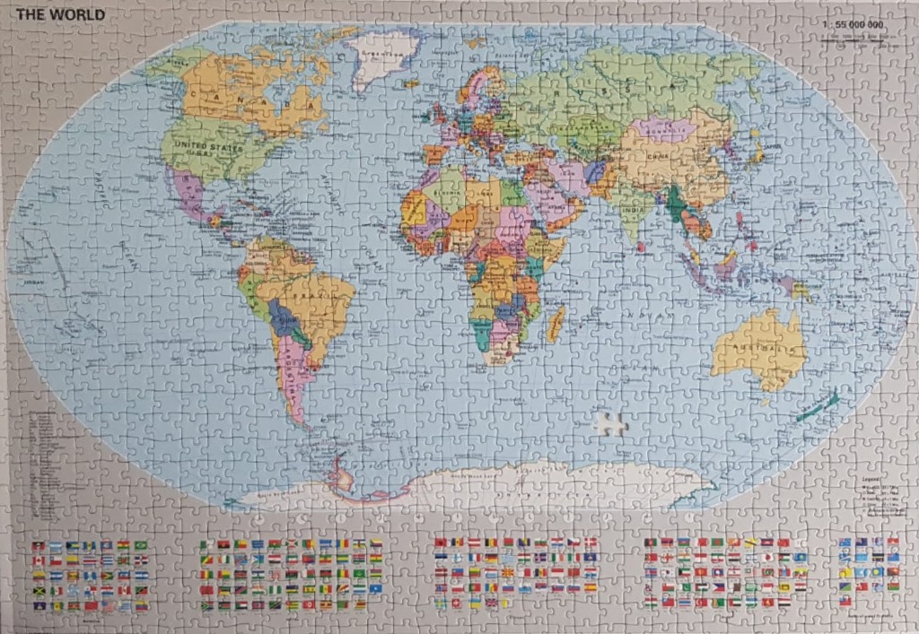
This image features a detailed political world map presented in an oval projection, centered against a plain, light grey backdrop. The continents are rendered in distinct, muted pastel colours, with individual countries outlined in thin lines. Major bodies of water are illustrated in a pale, uniform blue, providing a soft contrast to the landmasses. The map includes clearly labeled text for major countries, regions, and oceans, while the upper corners feature cartographic references, including a title in the top left and a scale indicator in the top right.
Beneath the main oval map, a comprehensive collection of national flags is arranged in a structured, multi-row grid that spans the width of the frame. Each flag is small and rectangular, displayed in alphabetical or geographical grouping. A legend is tucked into the bottom right corner, providing context for the map's symbols. The overall composition follows a traditional educational atlas style, utilizing a clean, informative, and neutral design to present global geographical information.