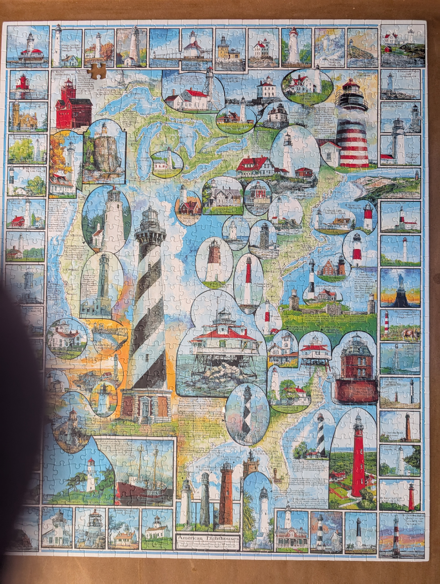
This image features a detailed map of the United States and parts of Canada, overlaid with numerous illustrations of various lighthouses. The map serves as a background, depicted in muted pastel tones of green, beige, and blue, providing a geographic framework for the composition. Scattered across the map are dozens of individual vignettes of lighthouses, framed within circular, oval, or rectangular borders. These illustrations showcase a wide variety of architectural styles, including tall conical towers, cottage-style keepers' dwellings, and structures perched on rocky outcrops or stilts.
The layout is densely packed, with the illustrations overlapping the map and each other. One of the largest focal points is a prominent, tall lighthouse with distinct black and white stripes, situated in the lower-left portion of the frame. The overall colour palette is bright and varied, reflecting the diverse settings of the lighthouses, from coastal blues and sandy neutrals to the vibrant reds, whites, and blacks of the towers themselves.
The artwork style is that of a detailed watercolour or ink-and-wash illustration, characterized by soft textures and fine lines. The inclusion of brief text labels beside many of the lighthouses provides historical context, lending the image an educational, cartographic feel similar to a collector's guide or a decorative reference poster.