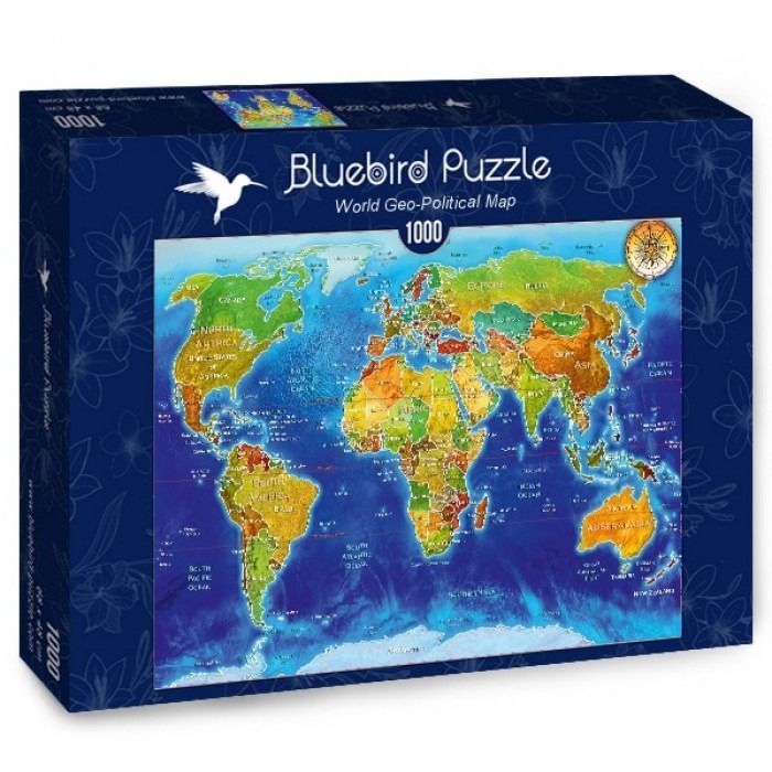
The central image is a colorful, detailed geopolitical world map presented on a rectangular canvas. The continents are rendered in varying shades of green, yellow, orange, and brown, with distinct borders delineating individual countries. Each continent is clearly labeled, and smaller text identifies key geographic features, including major bodies of water, islands, and mountain ranges. A detailed, vintage-style compass rose is tucked into the upper right corner, adding a classic navigational element to the cartographic design.
The map is set against a deep, vibrant blue ocean backdrop that features subtle topographical shading, giving the water a sense of depth and movement. Lighter blue hues are concentrated around coastlines, while darker shades indicate the deep ocean floors. The bottom of the image features a white, icy depiction of Antarctica, providing a clear southern boundary to the world map.
The overall style is that of a modern educational map illustration. The color palette is bright and high-contrast, ensuring that labels are readable and landmasses are visually distinct from the dark, expansive oceans. The composition is balanced and traditional, following a standard Mercator projection that provides a comprehensive overview of the globe's political landscape.