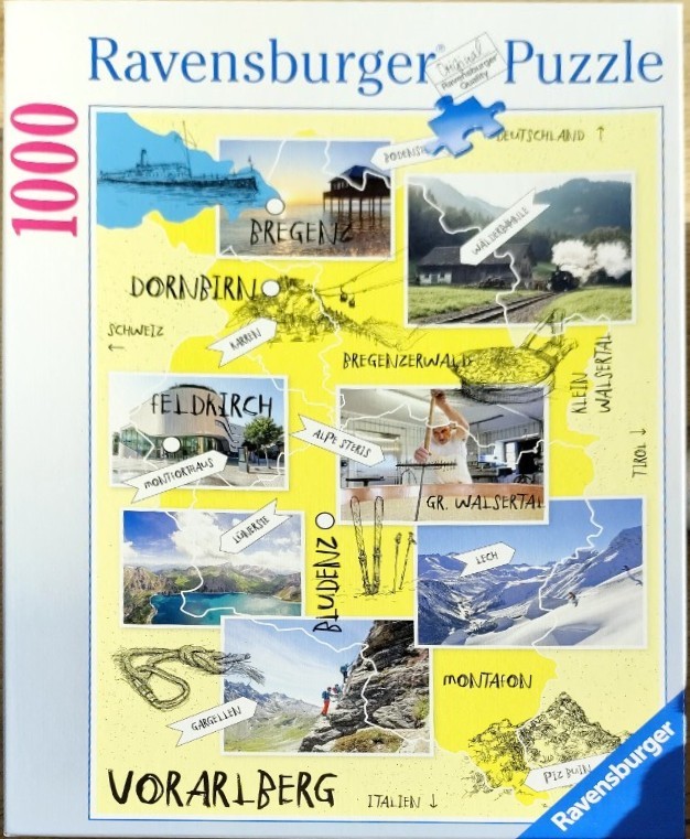
This map collage depicts the Vorarlberg region through a series of photographic vignettes set against a stylized, pale yellow map background. The composition is organized by geographical labels and connecting lines, with various regions like Bregenzerwald, Montafon, and Lech showcased through rectangular photos that highlight the area's diverse character. These images include a scenic boat on the water, a steam train, modern architectural facades, alpine hiking trails, and snowy mountain peaks.
Interspersed among the photographs are black-ink line illustrations depicting local icons such as a climbing carabiner, a pair of skis, and a bowl of local food. The overall aesthetic is educational and touristic, resembling a travel scrapbook. The borders of the regions are outlined in thin white lines, and handwritten-style labels provide geographic context for the various towns and mountains featured.
The colour palette is bright and inviting, dominated by the soft yellow of the map background, contrasting with the crisp, natural blues of the water and sky, the deep greens of the forests, and the white of the snow-capped peaks. The style is a mix of photographic realism and graphic design, creating a cheerful, informative overview of regional Austrian culture and outdoor recreation.