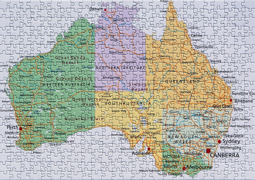
This image displays a detailed, flat-style geographical and political map of Australia. The continent is color-coded by state and territory, with Western Australia in shades of green, the Northern Territory in light purple, Queensland and South Australia in varying tones of yellow, and the southeastern states of New South Wales and Victoria depicted in pale hues. The design emphasizes major road networks, represented by a dense web of orange lines connecting numerous cities and towns across the interior and coastal regions.
The map is highly informative, featuring labels for major cities, smaller towns, and geographical landmarks like deserts and plains. Capital cities are highlighted with prominent red dots, while other locations are marked with smaller black dots. The typography is clean and sans-serif, maintaining readability against the soft-toned background. The map is set against a plain, off-white backdrop, focusing the viewer's attention entirely on the cartographic details and the branching infrastructure of the Australian highway system. The overall style is reminiscent of a classic road atlas, providing a clear and comprehensive visual overview of the continent's layout and connectivity.