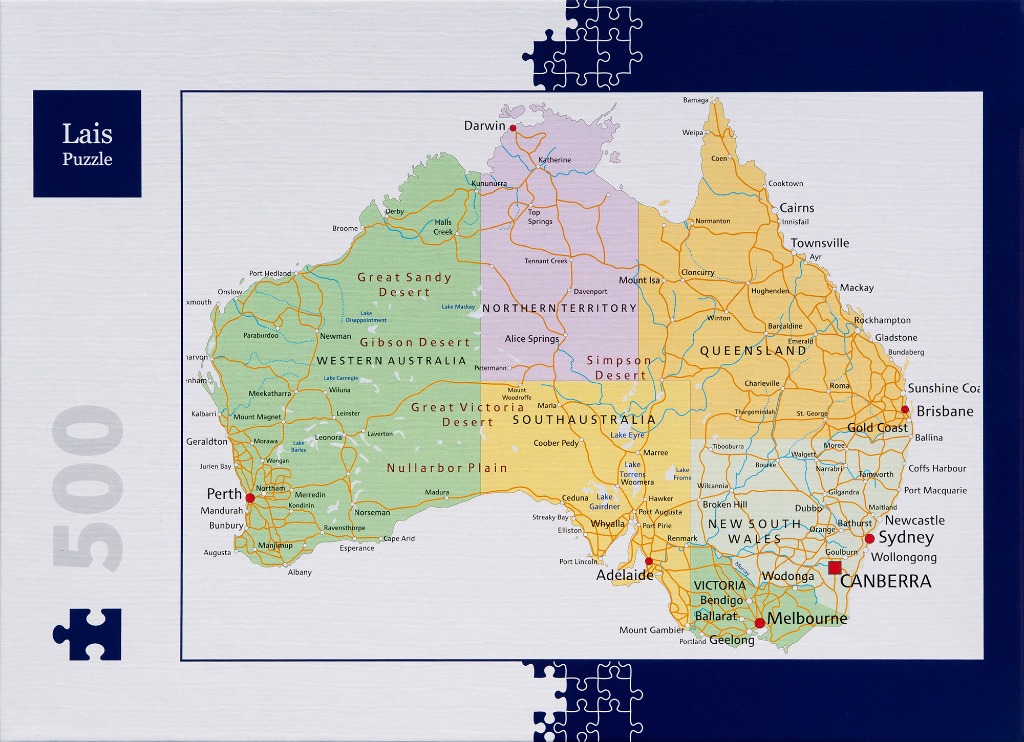
This illustration features a clean, cartographic map of the Australian continent. The landmass is divided into clear, vertical color-coded sections representing different states and territories, using a palette of soft green, light purple, light orange, and yellow. A detailed network of orange lines crisscrosses the continent, representing the country's major road arteries, connecting the various regions.
Major cities and towns are marked with black text and prominent red dots, clearly highlighting urban centers like Perth, Adelaide, Melbourne, Sydney, Brisbane, and Canberra. Geographic features such as the Great Sandy Desert, Nullarbor Plain, and Simpson Desert are labeled in a simple, readable sans-serif font across their respective areas. Small blue text denotes significant lakes.
The composition is centered against a clean white background, framed by a dark navy blue border that incorporates stylized puzzle piece silhouettes along the top and bottom edges. The overall aesthetic is educational and organized, resembling a high-quality physical or digital map, with sharp lines and high-contrast labels that ensure clarity for the viewer.