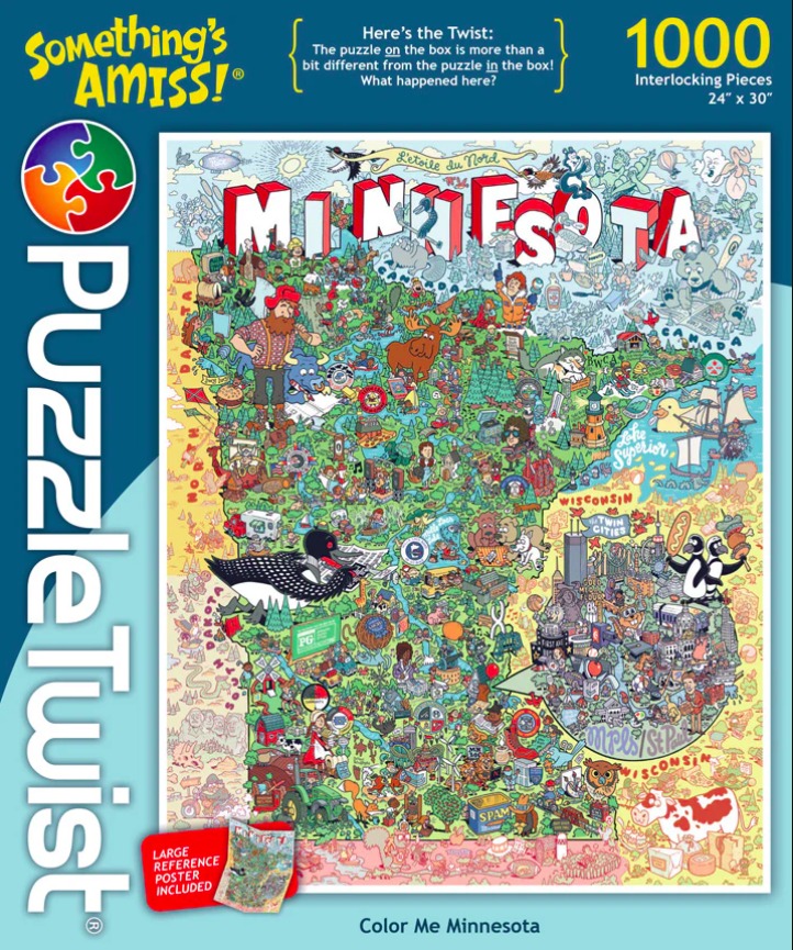
This highly detailed, whimsical cartoon map depicts the state of Minnesota, filled with cultural references, local wildlife, and humorous vignettes. Large, bold, three-dimensional letters spell out "MINNESOTA" across the top border of the state. The composition is densely packed, with the landscape divided into various zones ranging from natural forested areas in the north to urban centers in the southeast.
Throughout the map, charming illustrations capture iconic aspects of the state, including a giant lumberjack, a loon, a moose, and diverse people enjoying outdoor activities. Lake Superior occupies the eastern border, featuring sailing vessels and a giant rubber duck. The Twin Cities area is represented as a bustling metropolitan cluster, while rural sections showcase farms, tractors, and livestock. Small details such as a can of SPAM, colorful flags, and various animal characters add a playful, storybook quality to the scene.
The illustration style is vibrant and clean, utilizing a bright, cheerful color palette that distinguishes different geographic regions and items. The background varies from lush greens for wooded areas to light yellows and tans for the plains and surrounding borders. Each element is outlined in a consistent, bold style, ensuring the myriad of small jokes and specific icons remain distinct even amidst the high level of visual density and overlapping motifs.