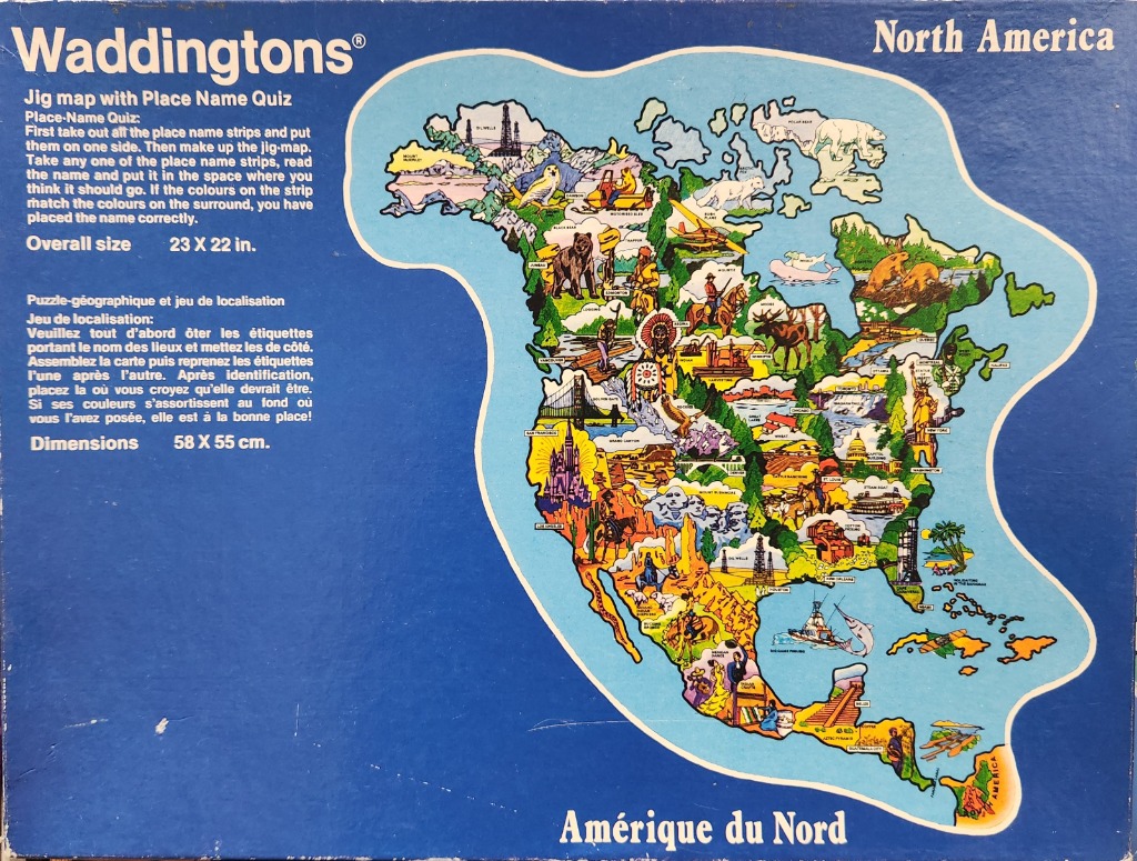
This illustration features a stylized, educational map of North America set against a deep blue background. The continent is rendered in a vibrant, cartoon-like aesthetic, filled with small, colorful vignettes that highlight local geography, industry, wildlife, and landmarks. The map is designed with clear outlines, making the different regions and coastal areas easily identifiable within the central light-blue landmass.
Across the map, various icons represent regional themes: polar bears and arctic foxes occupy the frozen north, while the American West displays icons like the Grand Canyon, cowboys, and cacti. Further east, historical landmarks such as the Statue of Liberty and the United States Capitol appear alongside images of agriculture and dense forests. Moving south, the map includes imagery related to oil drilling in Texas, maritime themes near the Gulf of Mexico, and cultural references in Mexico and Central America, such as ancient pyramids and traditional dancers.
The artwork uses a bright, saturated color palette, contrasting the yellow-toned desert areas with lush green forests and blue waterways. The style is reminiscent of mid-20th-century educational visual aids, prioritizing high-contrast graphics and clear labeling of the continent. The overall composition is crowded but organized, with icons placed relative to their approximate geographic locations, creating a dense, busy visual representation that combines cartography with whimsical, representative sketches.