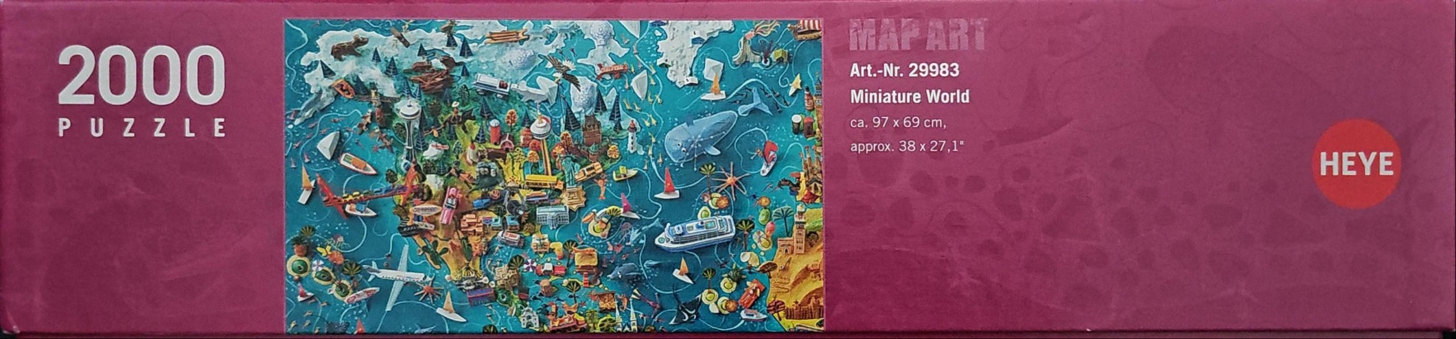
This highly detailed illustration presents a whimsical, overhead view of North America, rendered in a colorful and densely packed map style. The central landmass is characterized by a vibrant mix of terrain and iconic architecture, including recognizable structures like the Space Needle and the Statue of Liberty. The surroundings are teeming with small-scale figures of animals, ships, airplanes, and cultural motifs, creating a sense of a busy, interconnected globe.
The composition is anchored by a deep teal, textured ocean that surrounds the continent, contrasting with the warm, earthy yellows and greens of the land. The artistic style is reminiscent of a stylized relief map, with each element meticulously placed to represent a broad overview of geographic and cultural icons. Light seems to illuminate the scene from an even, soft source, highlighting the depth of the illustrated features and the playful nature of the miniature world.
Secondary details include a variety of nautical elements, such as whales and cruise ships, interspersed with land-based symbols like towering forests and urban sprawl. The medium is clearly digital or hand-painted illustration, characterized by clean lines and saturated tones that make each miniature detail pop against the expansive blue background. The overall mood is one of discovery and lighthearted adventure, inviting the eye to wander across the surface to find hidden, quirky additions throughout the map.