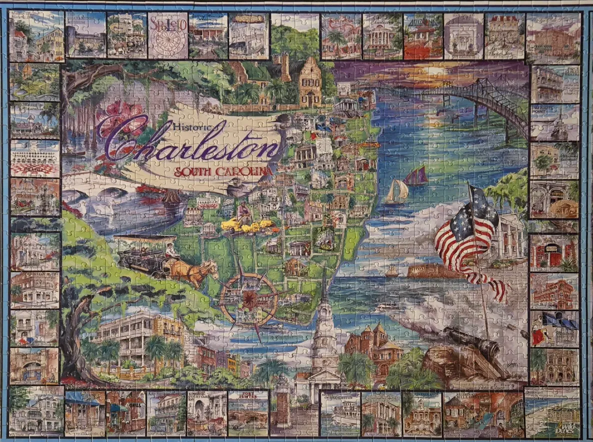
This illustration features a vibrant, stylized map of historic Charleston, South Carolina, presented in the tradition of a travel postcard. The central area depicts the city's coastal geography, including rivers, bridges, and iconic steeples. The title, "Historic Charleston, South Carolina," is prominently featured in elegant script in the upper-left quadrant. Elements such as a horse-drawn carriage, a compass rose, a prominent American flag, and maritime vessels populate the scene, blending urban architecture with natural coastal features.
The main map is bordered by a continuous frame of smaller, individual illustrations. Each of these small vignettes depicts a specific local landmark, such as historic plantations, museums, and notable buildings, identified by small captions beneath them. These details create a sense of history and tourism, offering a comprehensive look at the city's most recognizable points of interest.
The color palette is rich and warm, utilizing sunset oranges and golds on the right side of the map, contrasting with the lush greens of the inland areas and the deep blues of the waterways. The artistic style is reminiscent of a detailed watercolor or gouache painting, with soft textures and a focus on nostalgic charm. Light appears to emanate from the right, suggesting a late afternoon or golden hour atmosphere, which enhances the inviting and classic feel of the composition.