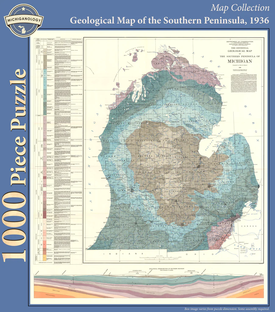
The central focus is a vintage geological map titled "The Centennial Geological Map of the Southern Peninsula of Michigan," dated 1936. The map illustrates the entire Southern Peninsula, with its distinct mitten shape surrounded by Lake Michigan, Lake Huron, and Lake Erie. The landmass is color-coded in muted, earthy tones of sage green, pale blue, tan, and dusky pink, each representing different rock formations and strata across the various counties of the region.
To the left of the map, a detailed legend provides extensive technical information, listing specific geological eras and time periods aligned with their representative colors. A secondary graphic at the very bottom of the composition displays a "Geological Cross-Section of Southern Michigan," showing a side-profile view of the subterranean layers of the peninsula. This strip provides a deep, multi-layered visual of the geological strata, utilizing a warmer palette of terracotta, ochre, and soft lilac.
The overall aesthetic is that of a professional cartographic survey or scientific report from the early 20th century. The composition is highly structured, featuring clean lines, precise black-ink topography, and crisp typography. Surrounded by a wide white border, the map maintains an academic and archival quality, using a restrained, professional colour scheme that prioritizes clarity and historical accuracy for geological study.