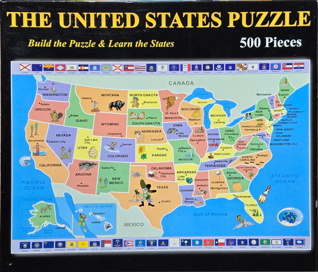
This illustration features a colorful, educational map of the United States, including Alaska and Hawaii shown as insets. Each state is color-coded and clearly labeled with its name, capital city, and a star symbol. The overall design serves as a playful geography tool, filling the central portion of the frame against a clean white background.
Scattered across the map are various cartoon illustrations representing state-specific wildlife, landmarks, or culture. For example, a cowboy lassoes in Texas, a bison stands in Wyoming, a bald eagle soars over Minnesota, and a geyser erupts in Utah. The Great Lakes and major oceans are labeled in a simple, bold font, while the borders between states are clearly defined with thin lines.
Surrounding the main map is a decorative border featuring rows of colorful individual state flags, each labeled with the name of the state it represents. The overall palette is vibrant and cheerful, utilizing a variety of primary and secondary colours to distinguish each state. The style is reminiscent of a children’s textbook or a classroom wall chart, with simplified, friendly artistic depictions that make the geography easy to navigate and visually engaging.