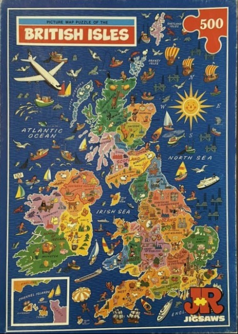
This pictorial map showcases the British Isles against a deep blue sea background. The landmasses are divided into distinct regions using a variety of warm, earthy, and pastel tones, with labels for countries like England, Scotland, Wales, and Northern Ireland. The map is heavily decorated with small, charming cartoon-style vignettes that represent local culture, wildlife, landmarks, and regional industries, such as farmers, sheep, castles, and historic monuments.
The surrounding ocean is filled with nautical and whimsical imagery, including a wide array of sailing vessels, cargo ships, and oil rigs. A large airplane glides through the upper left sky, while a stylized yellow sun with a smiling face dominates the area above the North Sea. In the lower left corner, an inset box provides a detailed view of the Channel Islands, while labels for the Atlantic Ocean, Irish Sea, and North Sea clearly designate the surrounding bodies of water.
The overall aesthetic is that of a vintage, hand-drawn illustration with a playful, lighthearted mood. The color palette relies on the contrast between the saturated navy blue of the sea and the softer, multicolored patchwork of the land regions. Every inch of the space is utilized, creating a dense, busy composition that invites the viewer to explore the tiny details scattered throughout the maritime expanse.