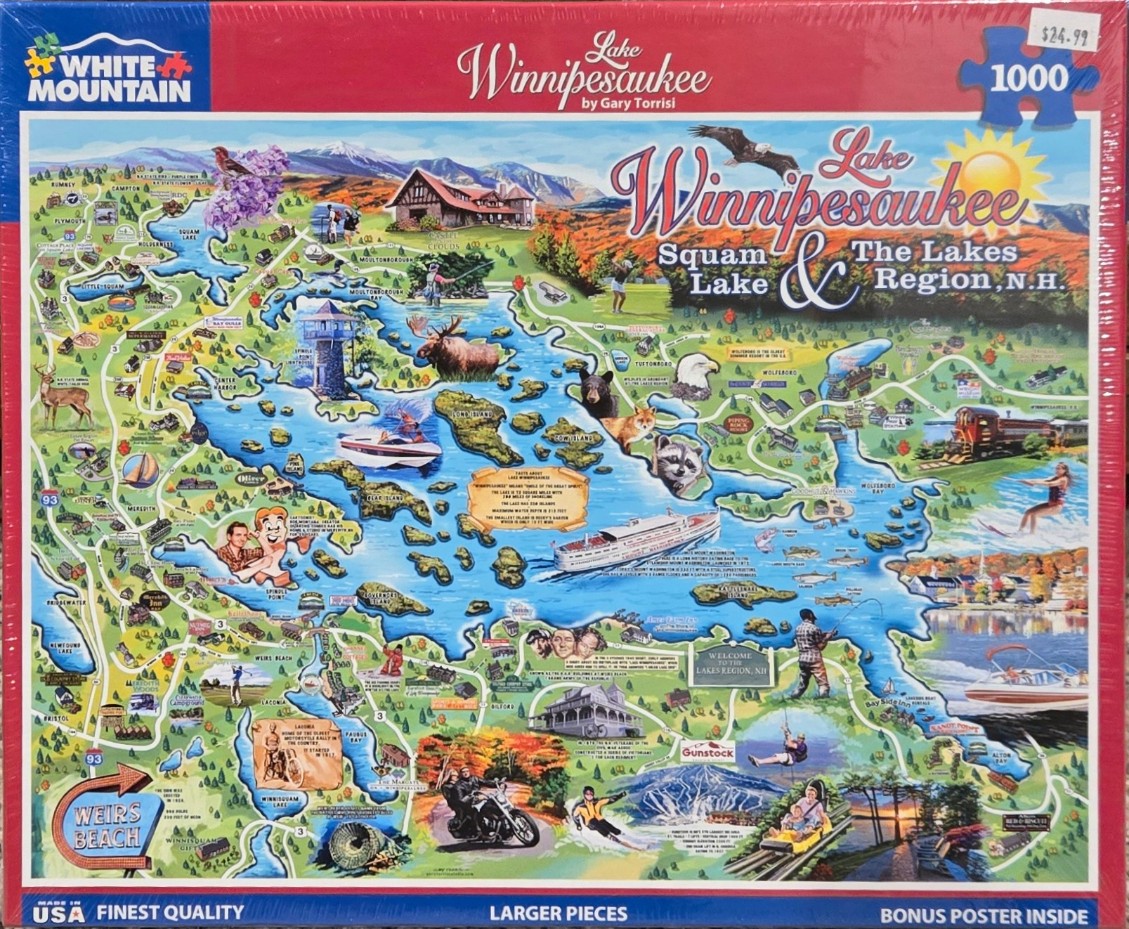
This illustrated pictorial map depicts the geographical landscape of the Lakes Region in New Hampshire, centered on the sprawling, blue waterways of Lake Winnipesaukee and Squam Lake. The map is filled with charming, colorful vignettes that highlight regional landmarks, wildlife, and outdoor recreational activities. A large cruise ship traverses the center of the lake, while smaller speedboats, sailboats, and individuals fishing or waterskiing are scattered throughout the surrounding coves.
The composition is dense and whimsical, featuring a stylized topographical layout where roads wind through lush green forests and autumnal orange foliage. Numerous small illustrations represent local attractions, including historical buildings like Castle in the Clouds, iconic lighthouses, quaint inns, and a steam locomotive. The map is populated with regional wildlife, such as a moose, a black bear, a fox, a raccoon, a bald eagle, and a deer, all seamlessly integrated into the woodland scenery.
The color palette is vibrant and saturated, utilizing deep blues for the water, rich forest greens for the land, and brilliant oranges and yellows to suggest a crisp autumn season. The sky is a bright, clear blue, punctuated by a cheerful yellow sun in the upper right corner. The overall style is that of a classic tourist map illustration, blending informative cartography with a playful, folk-art aesthetic that captures the lively spirit and natural beauty of the region.