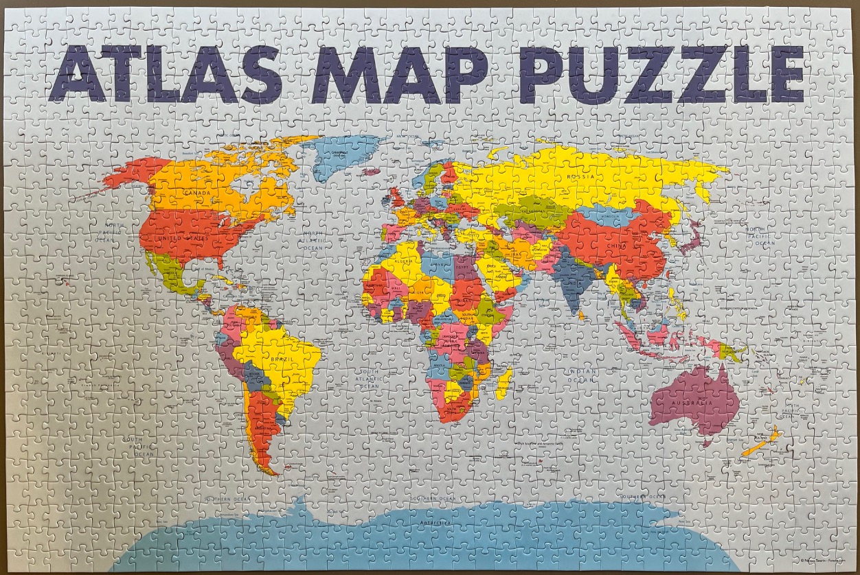
This image depicts a political map of the world presented in a classic atlas style. At the top of the composition, the words "ATLAS MAP PUZZLE" are printed in large, bold, dark blue capital letters. The map itself covers the majority of the lower section, clearly delineating continental borders and individual country territories.
The map is rendered in a vibrant, multi-coloured palette where each country is filled with a distinct shade of yellow, orange, red, pink, or green, contrasting sharply with the pale greyish-white of the surrounding oceans. Antarctica is shown at the very bottom in a solid light blue. The composition is a standard Mercator projection, centering on Europe and Africa while spreading the Americas to the left and Asia and Australia to the right.
The illustration is clear and informative, featuring crisp black typography for country names, major cities, and bodies of water. The overall aesthetic is clean and educational, designed with high legibility in mind. The white space of the oceans and the soft blue of the southern polar region provide a neutral backdrop that makes the saturated colours of the landmasses stand out prominently. The map is presented as a flat, two-dimensional educational graphic.