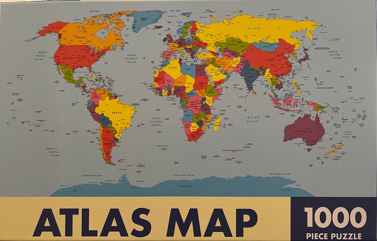
This illustration presents a political world map set against a light grey background representing the oceans. The continents are divided into distinct nations, each rendered in bold, flat blocks of colour—primarily shades of red, yellow, green, and blue—that create a vibrant, high-contrast mosaic. Major countries and regions such as Canada, Russia, Brazil, and Australia are clearly labeled with black sans-serif text, providing geographic context across the global landmasses.
The map follows a traditional Mercator-style projection, placing the Americas on the left, Europe and Africa in the centre, and Asia and Australia to the right. The oceans are largely empty, punctuated only by the names of the major bodies of water and scattered archipelagos. The southern edge of the image features a pale blue strip representing the icy expanse of Antarctica.
Stylistically, the map is a clean, modern graphic illustration, prioritizing clarity and ease of reading. The lighting is uniform and flat, typical of cartographic design, with no shadows or textures applied to the land or water. Fine black lines demarcate international borders, and small dots identify major cities or capitals, contributing to the organized, academic aesthetic of the composition.