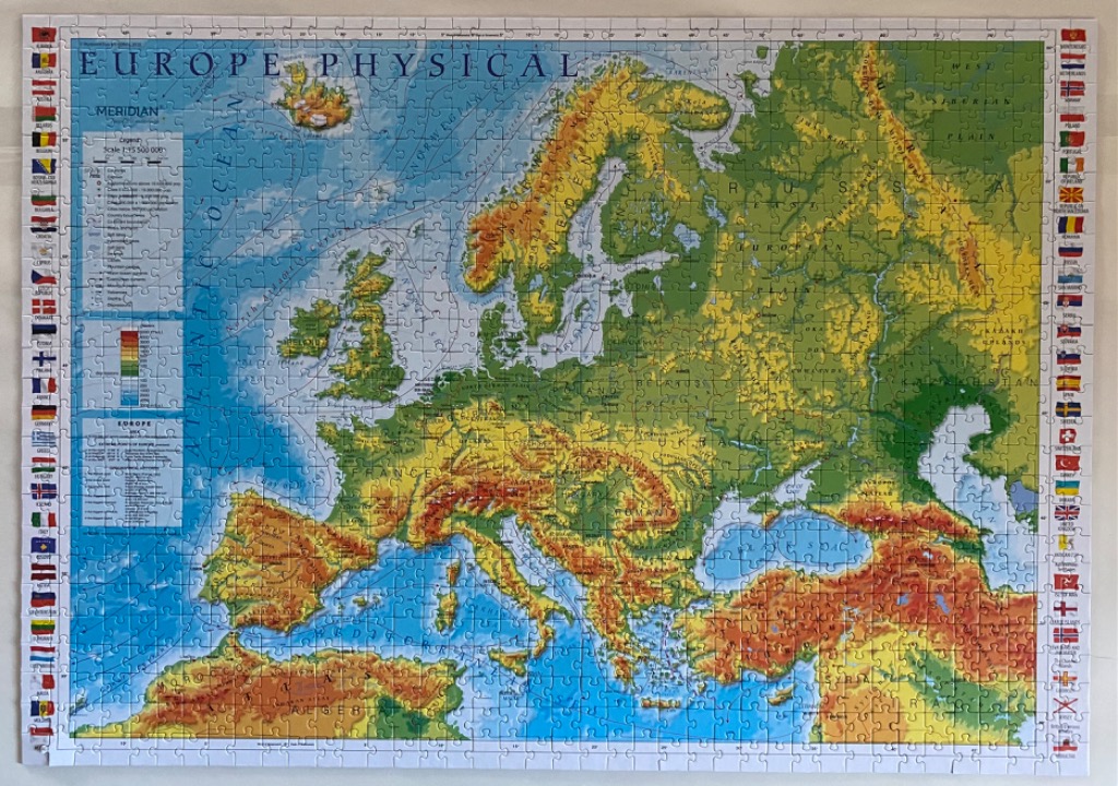
This is a detailed physical map of Europe and the surrounding regions, presented in an educational cartographic style. The central focus is the varied topography of the European continent, displaying land elevation through a gradient of colors ranging from lush green lowlands to yellow plains and deep orange-brown mountain ranges like the Alps and the Caucasus. The map illustrates major geographic features including coastlines, mountain chains, and rivers, with oceanic depths indicated in lighter and darker shades of blue.
Textual elements are integrated throughout the map, including the title "EUROPE PHYSICAL" at the top, a legend explaining the elevation scale and map symbols in the upper left corner, and names of countries, seas, and regions inscribed in a clean, legible font. Along both the left and right vertical margins, a decorative border features a collection of small, neatly aligned national flags representing the various countries of Europe.
The overall aesthetic is that of a classroom reference map. The color palette relies on high-contrast earth tones for the landmasses, providing a clear visual distinction between flat basins and highland terrains, contrasted against the expansive blue of the Atlantic Ocean, the Mediterranean, and the Black Sea. The composition is structured and formal, typical of geographic reference tools intended for learning and study.