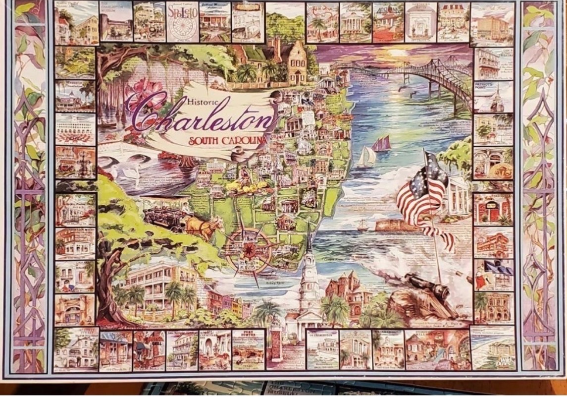
This illustration depicts a stylized, artistic map of historic Charleston, South Carolina. Centered on the map is a large, scroll-like banner with the text "Historic Charleston South Carolina." The geography includes a harbor, a grand bridge spanning the water, and lush greenery including moss-draped live oak trees. A horse-drawn carriage sits in the foreground, while a large, waving American flag stands near the coastal water.
The main map is framed by a decorative border consisting of numerous small, individual vignettes of various local landmarks, buildings, and cultural motifs. The entire scene is surrounded by an outer floral, wrought-iron style border in muted purple and green tones that reflects the city's architectural character.
The color palette is vibrant and painterly, utilizing warm golden hues for the sunlight, deep greens for the foliage, and soft blues for the water. The sky at the horizon transitions into a soft sunset, casting a gentle glow over the harbor and bridge. The medium appears to be a detailed watercolor or ink-and-wash illustration, blending historical charm with a whimsical, map-like composition that captures the atmosphere of the southern coastal city.