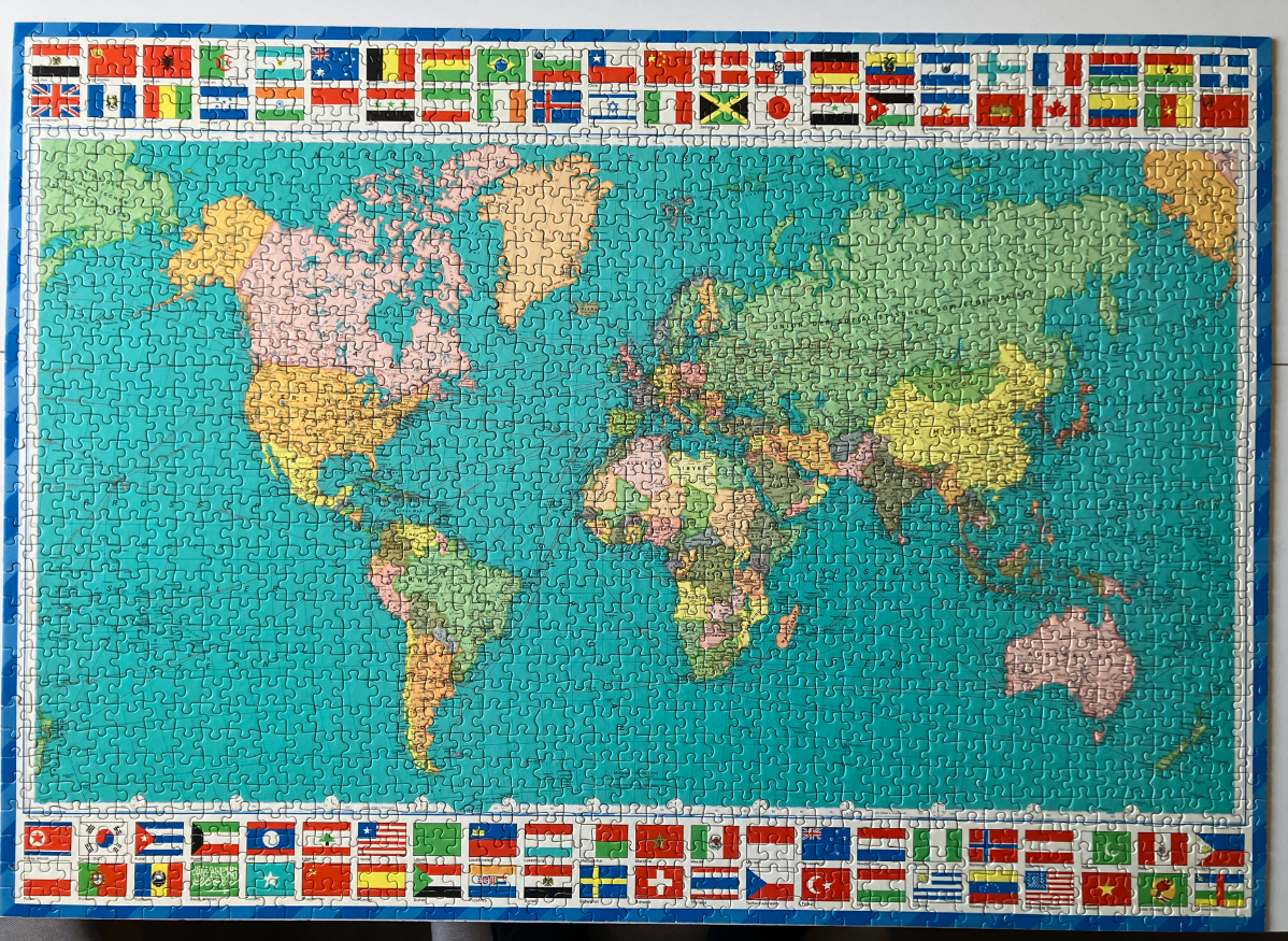
This image depicts a colorful political world map featuring a classic, vintage cartographic style. The central focus is the landmasses of the world, rendered in a variety of soft pastel shades including pink, yellow, green, and tan to distinguish different countries and regions. The oceans are a solid, deep teal-blue, providing a strong contrast to the lighter colors of the continents. The map is set against a rectangular frame that is bordered on both the top and bottom by rows of miniature, vibrant national flags from various countries around the world.
The layout follows a traditional Mercator-style projection, clearly labeling major regions and countries. Thin lines representing shipping routes or longitudinal markings are faintly visible across the ocean expanses, adding a sense of navigational detail. The typography for country names and geographical features is presented in a clean, legible font typical of mid-20th-century educational maps.
The overall aesthetic is reminiscent of an old classroom wall map. The colors are muted rather than neon, evoking a sense of historical geography. The composition is highly symmetrical, with the dense rows of flags creating a decorative border that frames the world map, serving both as an aesthetic element and a reference for international symbols. The lighting is even across the entire surface, emphasizing the clarity of the printed details.