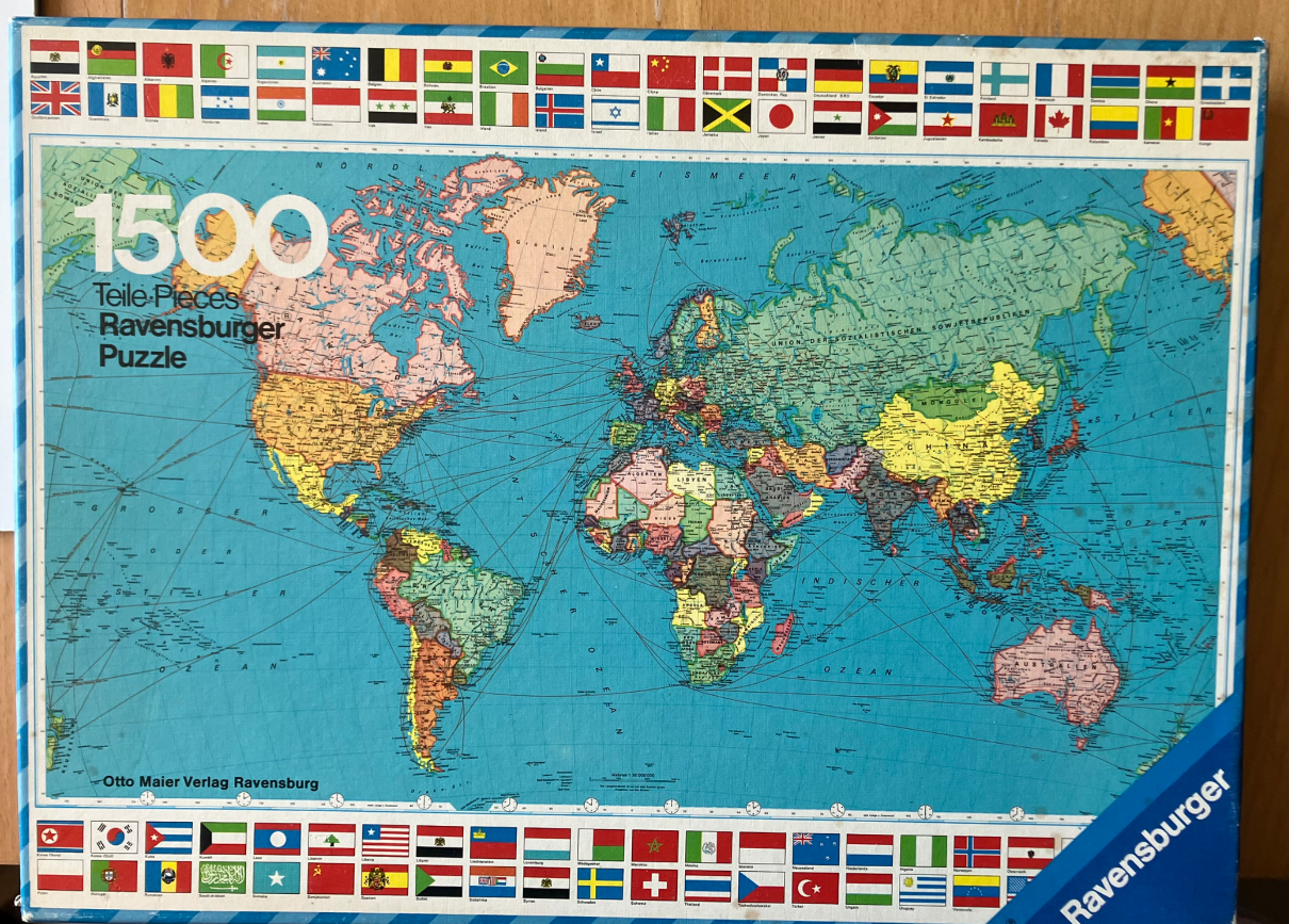
This image presents a vintage-style political world map, rendered in a classic cartographic illustration format. The continents are color-coded in muted shades of salmon, yellow, green, and tan, set against a vast, pale blue ocean. Thin, dark lines snake across the sea, representing international shipping lanes and maritime routes. The map includes detailed geographical labels written in German, such as “Großer Ozean” for the Pacific and “Indischer Ozean” for the Indian Ocean.
The composition is strictly framed by horizontal rows of rectangular national flags. These flags run along both the top and bottom edges of the image, showcasing a diverse array of international symbols. The map itself is centered, providing a clear bird's-eye view of the earth's landmasses as they were depicted in the mid-to-late 20th century. Notable historical details are visible, such as the expansive labeling of the Soviet Union.
The overall aesthetic is educational and nostalgic, characterized by a soft, matte color palette and thin, precise typography. The light is neutral, simulating the look of a printed wall map. Fine grid lines and degrees of latitude and longitude are lightly etched across the oceanic surfaces, adding a layer of technical detail to the artistic representation of the globe.