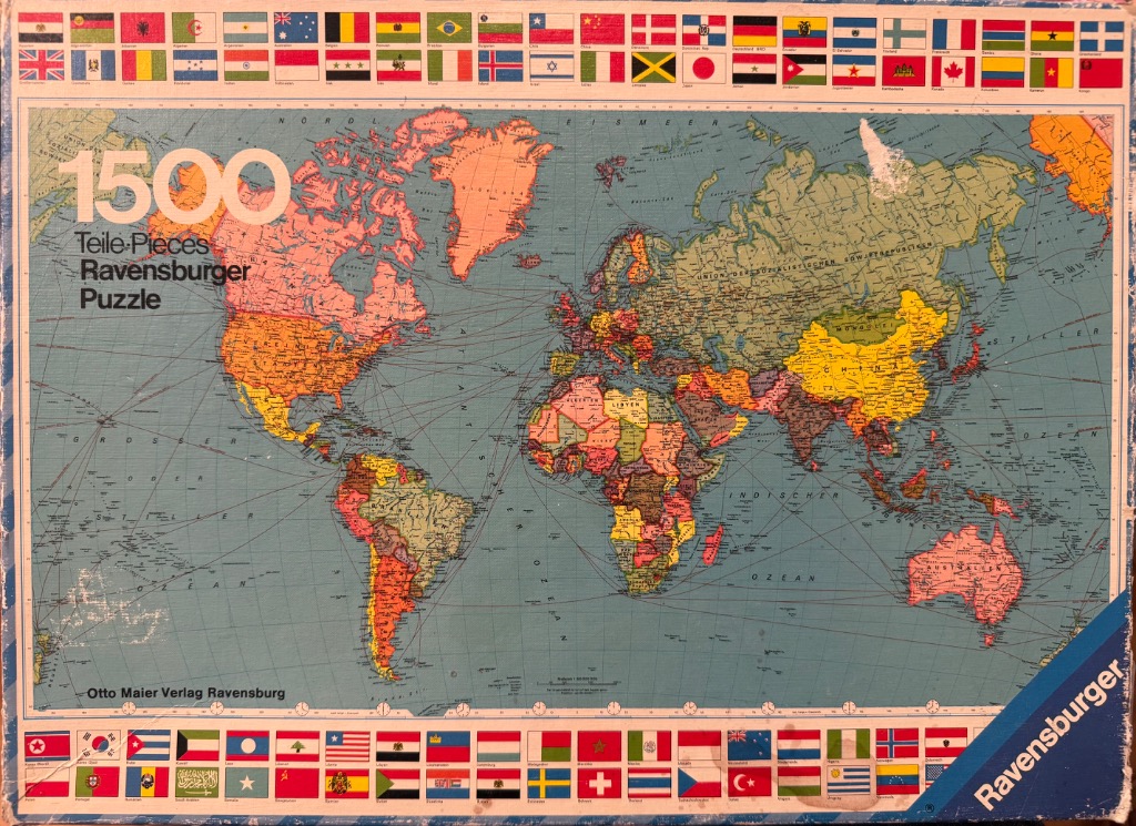
The central artwork is a vintage political world map rendered in a classic cartographic style. It depicts the continents in varied, muted pastel shades against a pale blue ocean background. Fine black lines trace various shipping routes across the seas, while place names, country labels, and geographic identifiers are written in German. A prominent, large sans-serif "1500" occupies the upper-left quadrant, positioned over the North Pacific region.
Framing the entire map is a continuous decorative border composed of rows of miniature international flags. These flags run along the top and bottom edges of the design, creating a colorful and organized frame that encompasses the world map. The overall composition is formal and educational, resembling an atlas or a classroom wall map from the mid-20th century.
The color palette is dominated by the soft, faded tones of the landmasses—pinks, yellows, light oranges, and greens—which contrast with the neutral, muted blue of the oceans. The lines of the shipping routes and the intricate details of the map are printed in crisp black ink. The design has an aged aesthetic, with slight paper texture and wear evident throughout, giving it the appearance of a well-preserved historical map.