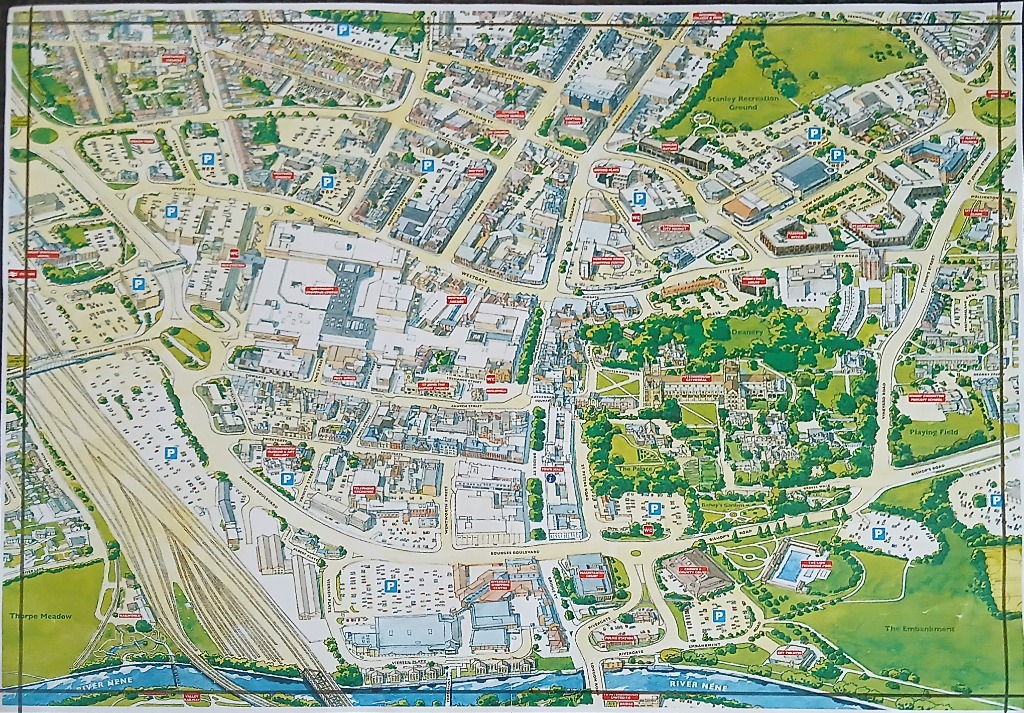
This overhead, bird's-eye view illustration depicts a detailed city map, characterized by its clean lines and soft, inviting color palette. The map encompasses a dense network of streets, commercial buildings, shopping areas, and civic structures. A prominent river flows along the bottom edge, crossed by bridges that connect the city to open green spaces like Thorpe Meadow and The Embankment. The composition is structured around a central urban core that gradually gives way to residential areas and parklands.
Notable focal points include a grand cathedral nestled within lush green gardens in the eastern quadrant, serving as a primary landmark amidst the architectural layout. To the west, extensive railway lines cut across the landscape, paralleling the river. Numerous blue parking symbols are scattered throughout the city grid, indicating accessibility. The illustration utilizes a muted, friendly aesthetic with cream-colored roads, light grey rooftops, and vibrant green patches representing parks and lawns.
Throughout the map, small text labels identify streets and significant points of interest, such as the town hall, playing fields, and recreational grounds. The style is that of a professional town planner’s guide or tourist map, designed for clarity and ease of navigation. Shadows are subtle, providing just enough depth to distinguish taller buildings from the surrounding streets, maintaining an orderly and accessible appearance throughout the entire scene.