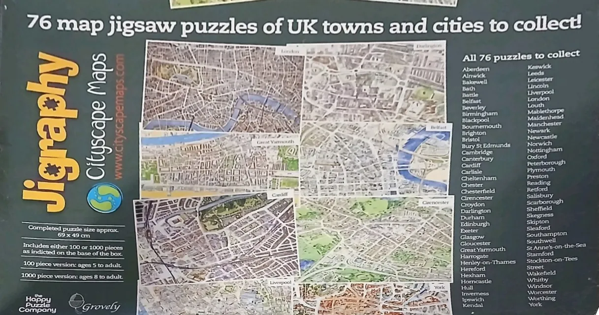
The central visual element is a collage of detailed aerial maps representing various UK cities and towns. These map segments are presented as rectangular, slightly tilted individual panels layered over one another. Each map features a high-density grid of streets, buildings, and green spaces, rendered in a practical, utilitarian cartographic style with muted tones of beige, grey, and green. Rivers are distinctly highlighted in blue, winding through the urban layouts.
The background of the image is a solid, dark charcoal or black colour, which provides a high-contrast backdrop for the pale map segments. To the right of the central collage, there is a neatly organized, vertical list of white text containing the names of the locations featured in the collection, arranged in alphabetical order.
Overall, the composition is informative and structured, prioritizing the legibility of the map details and the comprehensive list of locations. The aesthetic is clean and functional, resembling an informational display or a catalog cover intended to showcase the variety of geographical subjects available.