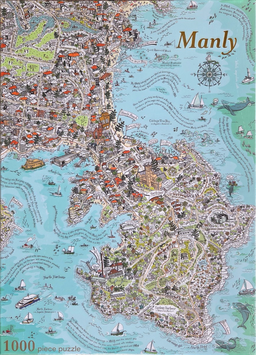
This highly detailed, illustrated map depicts the Manly peninsula in Australia from an aerial perspective. The landmass is densely packed with intricate drawings of residential streets, houses with red roofs, lush green parklands, and iconic historical buildings. The peninsula is framed by the sparkling blue waters of the ocean and harbour, with the coastline winding gracefully from the top left down to the lower right.
The artwork is rendered in a charming, folk-art illustration style, predominantly featuring a soft palette of sage greens, terracotta reds, and various shades of seafoam and azure blue. The map is heavily annotated with whimsical cursive handwritten notes that provide historical facts, local anecdotes, and legends about the area, weaving the text into the negative spaces of the water and shorelines.
Various maritime and aquatic elements populate the surrounding waters, including sailing yachts, a ferry, and several playful depictions of whales and dolphins swimming near the reefs. Important geographical locations, such as North Head, Manly Beach, and the Quarantine Station, are clearly marked, turning the landscape into an informative narrative of the region. The composition is balanced and sprawling, inviting the viewer to explore every nook of the coastline and the busy suburban grid above.