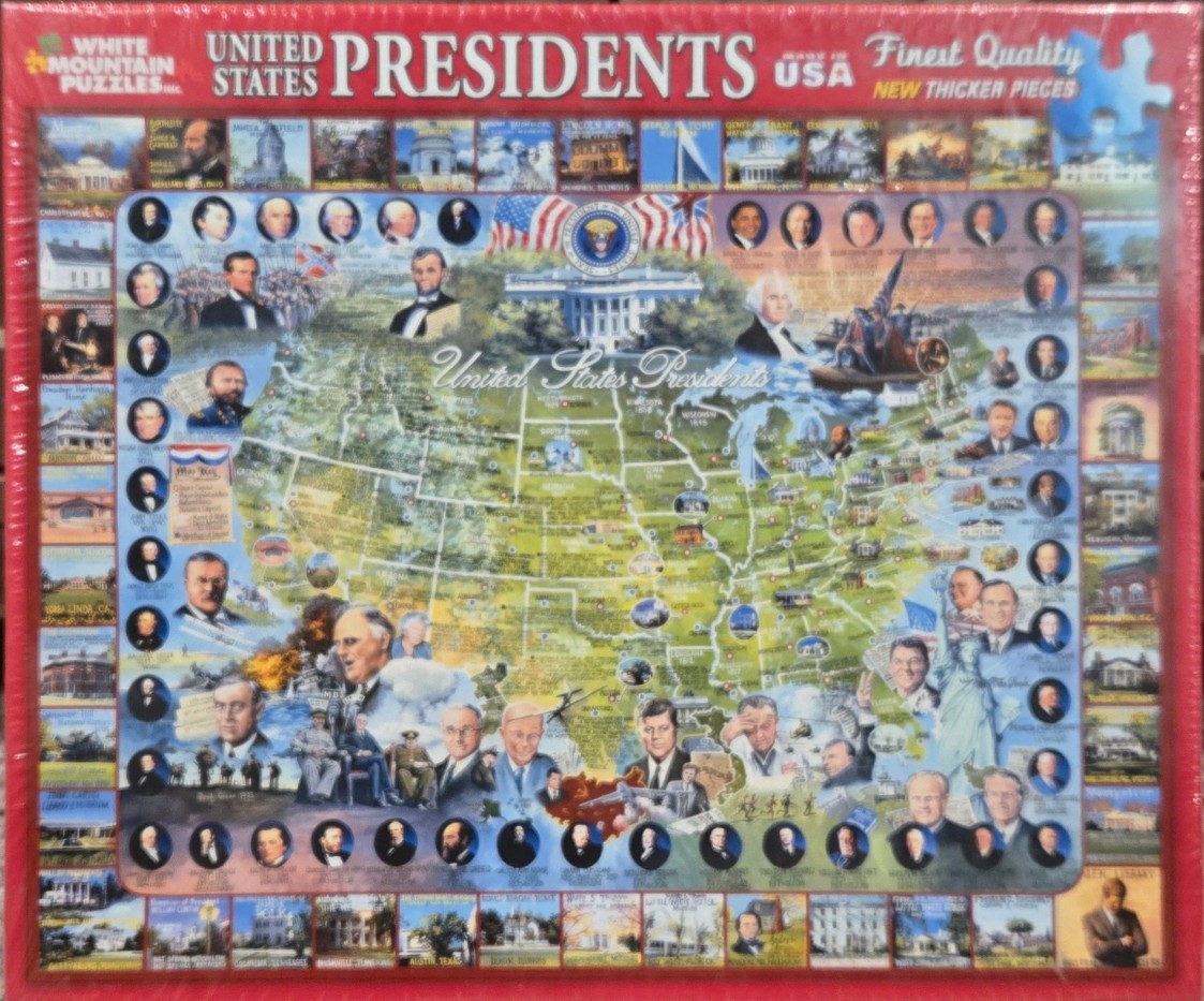
This detailed historical montage features a central map of the United States, overlaid with portraits of various American presidents and scenes of significant events or locations. The map serves as the backdrop, highlighting state boundaries, while the presidential portraits are arranged in oval frames along the perimeter and integrated into the map area itself. The White House and an American flag are depicted prominently near the top center.
The composition is densely packed, creating a panoramic view of American history. Scenes of war, landmarks, and state symbols are scattered across the map, creating a vibrant, educational aesthetic. Portraits of various figures are interspersed throughout, blending seamlessly with the geographical features. The style is that of a traditional historical illustration, with a realistic, slightly nostalgic rendering.
The colour palette is dominated by earthy greens representing the land, contrasted with the deep blues of the water and the crisp white of the monuments. The portrait borders are dark, which helps to separate the individuals from the complex background of the map. The overall lighting is even, allowing for the observation of small details across the entire frame. The borders of the artwork are lined with a collection of smaller thumbnail photographs, each depicting a different historical landmark, home, or monument associated with the various presidencies.