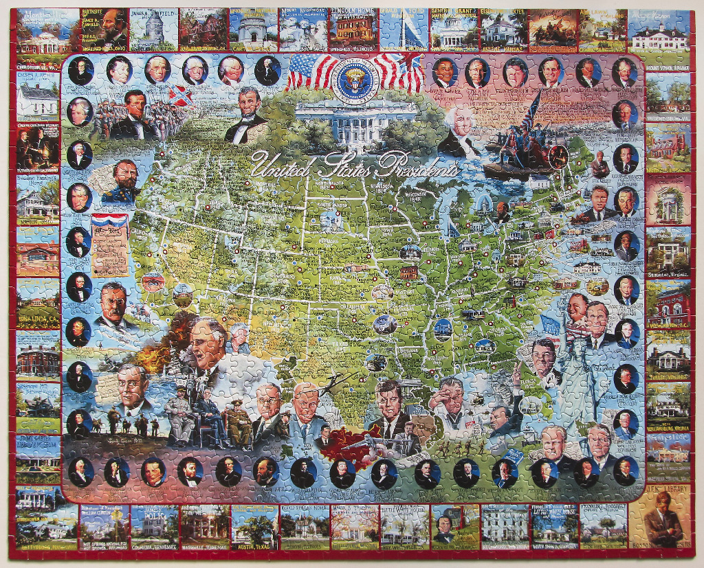
This detailed historical montage features a stylized map of the United States as its central focal point. The map is overlaid with illustrations of iconic presidential sites, battle scenes, and portraits of key American leaders. Dominating the upper center is the White House, framed by the American flag and the official seal of the President of the United States. Surrounding the central map are circular vignettes containing individual portraits of various U.S. presidents, along with descriptive text boxes and scenes of historical milestones.
The entire composition is enclosed by a border consisting of small, individual photographic vignettes. These smaller images depict the historic homes and museums associated with specific presidents, such as Mount Vernon, Monticello, and the Lincoln Home. The overall layout is dense and educational, blending cartographic elements with chronological portraits and architectural history.
The colour palette is dominated by muted, vintage-inspired earth tones—specifically varied shades of green for the map geography, contrasted with sepia, gold, and cream tones in the portraits and historical border images. Bright pops of red, white, and blue appear in the national flags and the presidential seal. The style is that of a classic, hand-drawn educational illustration, combining artistic portraiture with technical map-making and archival photography.