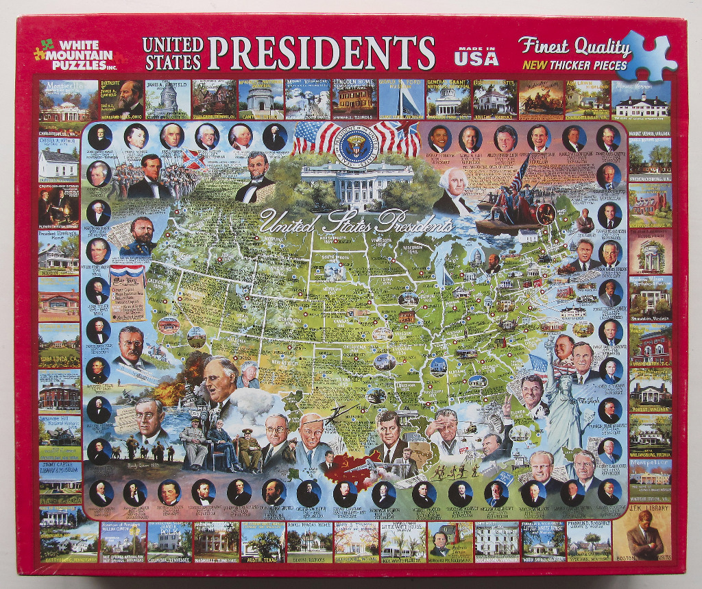
This illustrative collage features a central map of the United States superimposed with numerous portraits of American presidents, historical landmarks, and significant events. The White House is depicted centrally near the top, flanked by American flags and the presidential seal. Portraits of various presidents are scattered across the map and arranged in rows along the left, right, and bottom borders, showcasing a timeline of American leadership.
Surrounding the central map are smaller, framed vignettes of historic homes and national monuments, such as Monticello, Mount Vernon, and the Lincoln Home. The composition is dense and educational, blending cartography with historical iconography. The map itself is rendered in shades of green, with state boundaries and major cities clearly marked, providing a geographical context to the historical figures and sites shown.
The artwork utilizes a patriotic palette dominated by deep reds, whites, and blues, interspersed with the natural tones of the landscape vignettes. The overall mood is formal, commemorative, and patriotic. Many of the illustrations appear to be paintings or digitally rendered portraits and scenes, creating a cohesive visual history lesson. The layout is structured like a poster or wall map, with text captions identifying many of the locations and people portrayed.