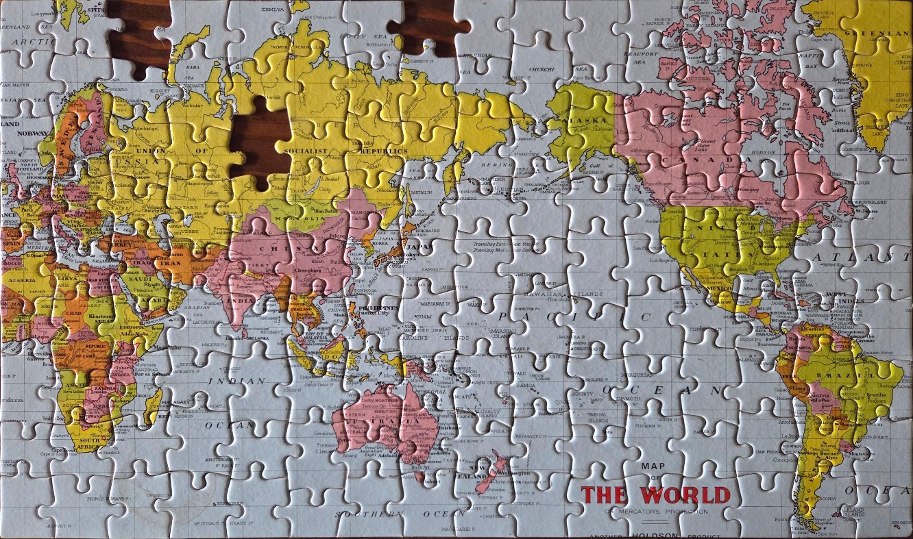
This is a detailed, vintage-style physical map of the world presented in a Mercator projection. The map is centered on the Pacific Ocean, with the Americas on the right and Europe, Africa, and Asia on the left. The continents are rendered in distinct, muted pastel tones of yellow, light pink, and orange, standing out against a light grey, textured background representing the oceans. The map includes an abundance of geographic details, including the names of countries, major cities, island chains, and deep-sea features like ocean basins and ridges.
The typography is classic and serif-based, contributing to an old-fashioned aesthetic. In the bottom right corner, the title reads "MAP OF THE WORLD ON MERCATOR'S PROJECTION" in bold, capitalized red lettering. The overall design features a high degree of cartographic precision, including latitude and longitude grid lines subtly overlaid across the landmasses and seas. The composition is balanced, typical of mid-century educational wall maps, providing a clear visual representation of global geography with a focus on historical boundaries and locations.