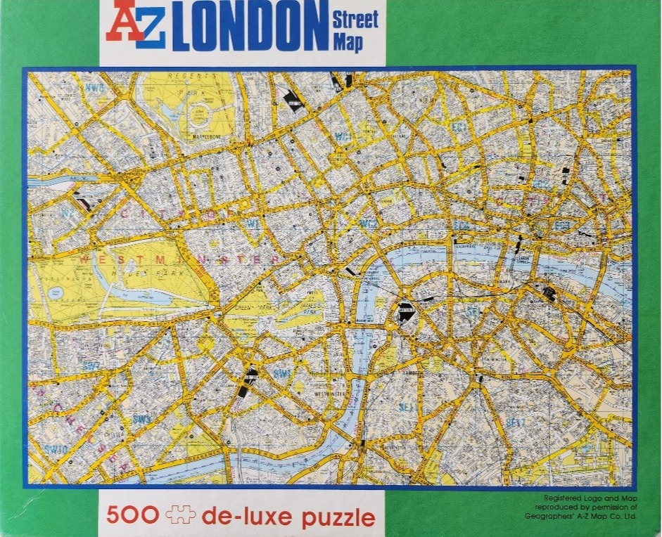
This image displays a detailed, vintage-style street map of central London, centered on the River Thames as it winds through the city. The map features a dense, intricate grid of streets and thoroughfares, with major roads highlighted in yellow against a pale background. Areas of greenery, such as Hyde Park and Regent's Park, are indicated in a muted, pale green, providing visual anchor points amidst the complex web of urban infrastructure.
The River Thames is rendered in a soft, pale blue, cutting a snake-like path through the lower-center of the image. The layout is functional and technical in design, characteristic of a traditional cartographic reference. Various London districts and landmarks are labeled with small, clear typography, and postal area codes are scattered across the map in bold, blue lettering to denote the different sectors of the city.
The overall color palette is muted and professional, relying on contrasting tones of yellow, blue, and light gray to ensure readability of the vast network of streets. The composition is a flat, overhead view, focusing entirely on the logistical layout of the city center. A white header area at the top includes the title "A-Z LONDON Street Map" in bold, blue and red text, while the main cartographic field is set against a vibrant green border that frames the map on all sides.