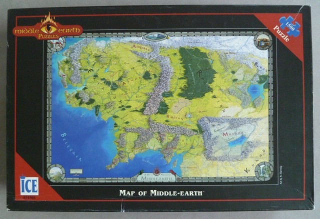
This illustration depicts a fantasy map of Middle-earth, rendered in the style of classic adventure literature. The map covers a vast geographical expanse, featuring a sprawling coastline along a deep blue ocean on the left. The terrain is detailed with textured grey mountain ranges that cut through the central plains, thick dark green forests, and arid stretches towards the east. The landmass is partitioned into various regions, with labels clearly marking locales such as Rohan, Mirkwood, and Mordor, the latter being enclosed by high, craggy peaks.
The aesthetic leans toward a vintage cartographic style, utilizing muted yellows and earthy greens for the land, contrasted by the intense, flat blue of the water. The mountains are drawn with fine, illustrative pen-and-ink hatching, giving them a rugged, elevated appearance against the softer background. The map is bordered by an ornate frame that includes small, circular illustrations in each corner and along the center edges, depicting specific landscapes or landmarks from the fictional world.
The overall composition is balanced and traditional, centered within the frame to emphasize its role as a travel guide for a mythical realm. The typography is elegant and clean, ensuring legibility against the topographical features. The lighting is uniform, mimicking a flat-lay parchment or drawn artistic reproduction without dramatic shadows, allowing the focus to remain strictly on the geographical details and the artistic interpretation of the land.